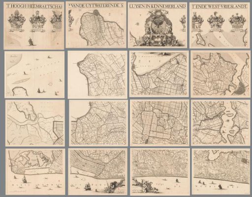
Map of Kennemerland and West-Friesland, consisting of sixteen parts
From the collection of Rijksmuseum, Amsterdam. Free to download, adapt and use — no permission needed.
Along the top edge the title. In the upper left the family coats of arms of the dike reeve and two high water board members. In the upper center the coat of arms of the High Water Board of the Outflow Sluices in Kennemerland and West-Friesland. To the left of it a female figure with two wings and a sluice on her head, a staff with an eye in one hand, a mill in the other hand and a crane with a stone in one foot beside her. She and the bird probably symbolize the vigilance of the high water board. To the right of the coat of arms Neptune. Under the coat of arms in the sea a river god, a mermaid with a child, a triton, putti and several other sea creatures. In the upper right the family coats of arms of two high water board members and the steward. At the bottom in the center a measuring rod: Sestien hondert Rhynlandse roede maeckende ontrent een ure gaens. To the right of it a river god and a putto.
Rijksmuseum, Amsterdam’s own descriptionSimilar works
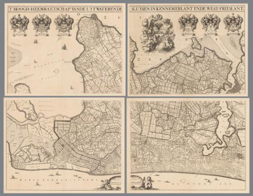 Map of Kennemerland and West-Friesland, consisting of four parts
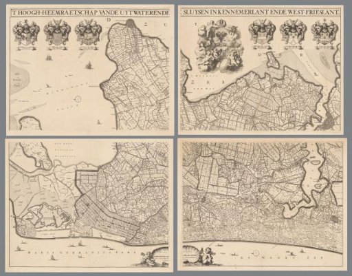 Map of Kennemerland and West-Friesland, consisting of four parts
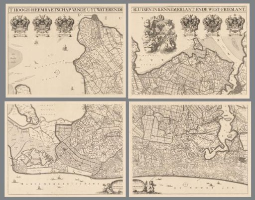 Map of Kennemerland and West-Friesland, consisting of four parts
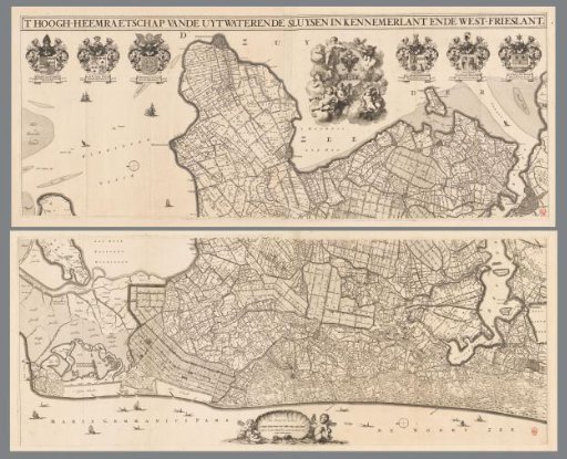 Map of Kennemerland and West-Friesland, consisting of two parts
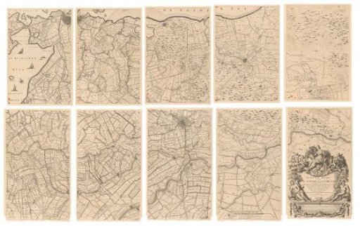 Map of the province of Utrecht, consisting of ten parts
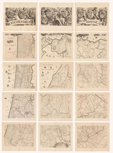 Map of the Hoogheemraadschap of Rijnland, consisting of fifteen parts