Public domain
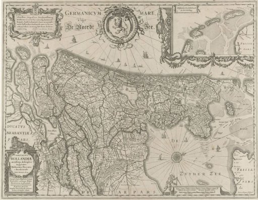
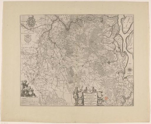
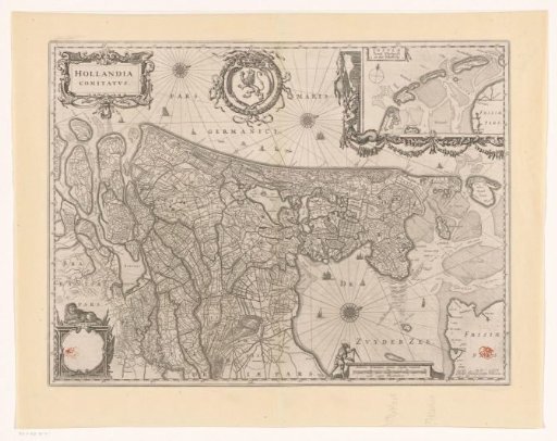
Map of the County of Holland
From the collection of Rijksmuseum, Amsterdam. Free to download, adapt and use — no permission needed.
About this work
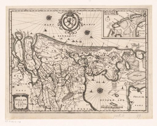
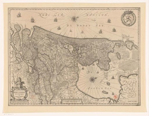
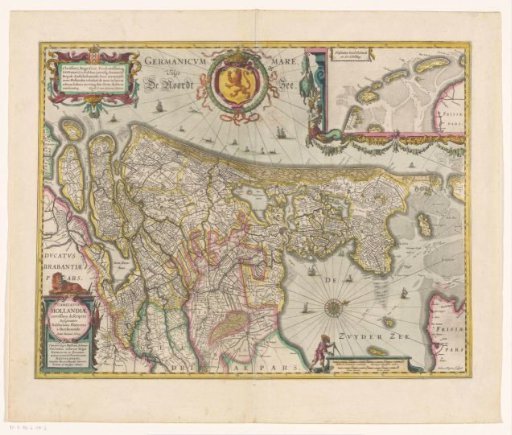
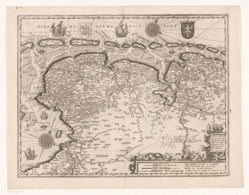
Map of the County of Holland and surrounding areas. On the top left, the title cartouche, next to it the coat of arms of the County of Holland. On the top right, an inset map of the Wadden Sea. On the bottom left, an empty cartouche with a lion on it. On the bottom right, a scale: Milliaria Hollandica, quorum singula continent 2000 virgas Rhynlandicas. Degree division along the edges. Orientation: north to the right. On the verso, Latin text.
Rijksmuseum, Amsterdam’s own descriptionCredit lineKaart van het graafschap Holland. 1634. anonymous. Rijksmuseum, Amsterdam. Public domain.