Public domain
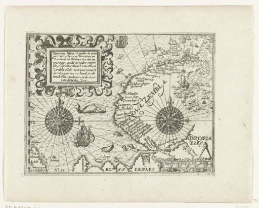
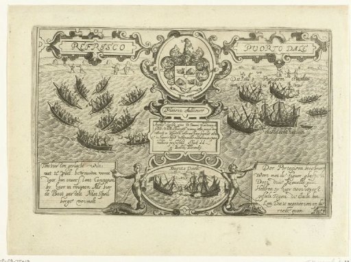
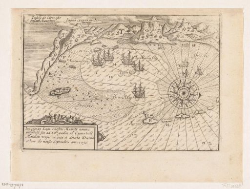
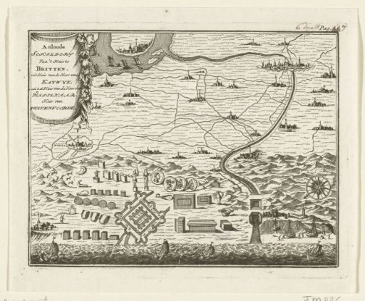
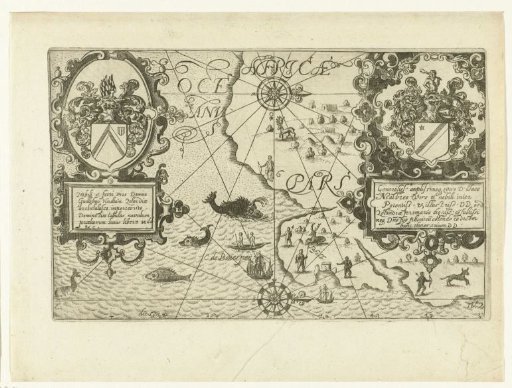
Map of the Cape of Good Hope and Table Bay, 1601
From the collection of Rijksmuseum, Amsterdam. Free to download, adapt and use — no permission needed.
About this work
Map of the Cape of Good Hope, Table Bay and Table Mountain, November 1601. The print is dedicated to Jacques de Malderé and Willem de Zoete, Lord of Haultain; their coats of arms are on the right and left in the image, with motto and dedication in Latin. Mirror-image copies of the original illustrations by Floris Balthasarsz. van Berckenrode in the report of Joris van Spilbergen's voyage to the East Indies, 1601-1604. No. 2.
Rijksmuseum, Amsterdam’s own descriptionCredit lineKaart van Kaap de Goede Hoop en de Tafelbaai, 1601. 1644 - 1646. anonymous. Rijksmuseum, Amsterdam. Public domain.