Public domain
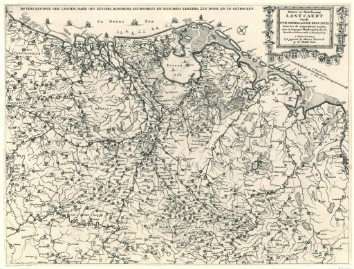
Map of the Netherlands showing the route taken by the French and Münsterite armies, ca. 1672-1674
From the collection of Rijksmuseum, Amsterdam. Free to download, adapt and use — no permission needed.
About this work
Map of the Netherlands showing the route taken by the French and Münster armies, ca. 1672-1674. In the upper right, a cartouche with the title of the print and the publisher's address. Around the cartouche are the coats of arms of the seventeen provinces.
Rijksmuseum, Amsterdam’s own descriptionCredit lineKaart van de Nederlanden waar de Franse en Munsterse legers door heen zijn getrokken, ca. 1672-1674. 1672 - 1674. anonymous. Rijksmuseum, Amsterdam. Public domain.
Similar works
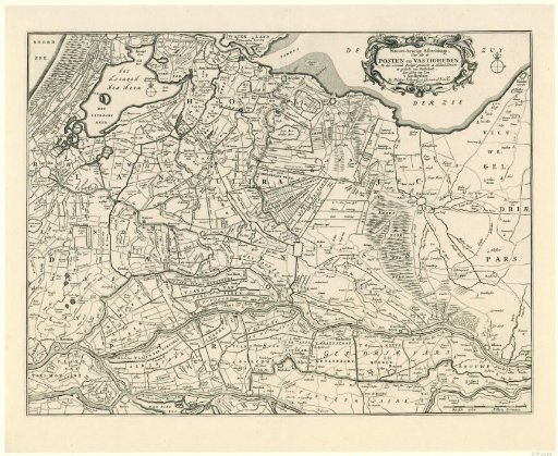 Map of the provinces of Holland, Utrecht, and Gelderland with the fortresses and forts built during the war in 1672
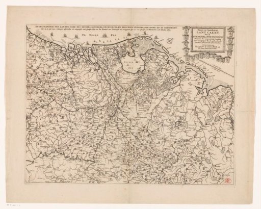 Map of the Netherlands with the war situation of 1672-73
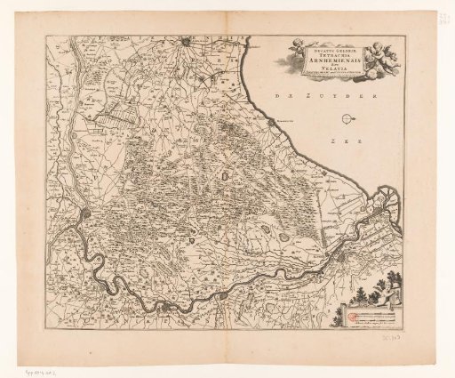 Map of the Veluwe
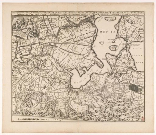 Map of the Bailiwick of Kennemerland
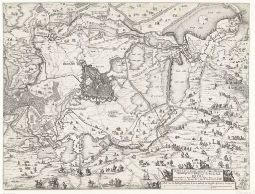 Siege of Breda (center sheet), 1637
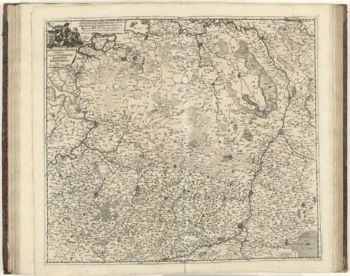 Map of Brabant and Limburg, ca. 1706-1712