Public domain
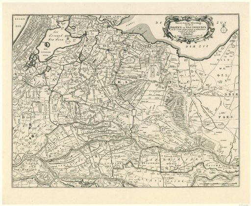
Map of the provinces of Holland, Utrecht, and Gelderland with the fortresses and forts built during the war in 1672
From the collection of Rijksmuseum, Amsterdam. Free to download, adapt and use — no permission needed.
About this work
Map of the provinces of Holland, Utrecht, and Gelderland with the fortresses and forts built during the war in 1672. In the upper right, the cartouche with the title. In the lower right, a scale bar: Dutch miles / Milliaria Germanica.
Rijksmuseum, Amsterdam’s own descriptionCredit lineKaart van de provincies Holland, Utrecht en Gelderland met de vestingen en forten gebouwd tijdens de oorlog in 1672. in or after 1672. anonymous. Rijksmuseum, Amsterdam. Public domain.
Similar works
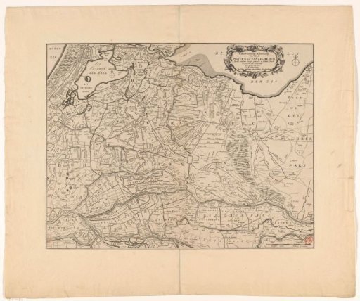 Map of the provinces of Holland, Utrecht and Gelderland with the fortifications and forts built during the war of 1672
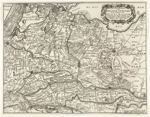 Map of the provinces of Holland, Utrecht and Gelderland with the fortresses and forts built during the war in 1672
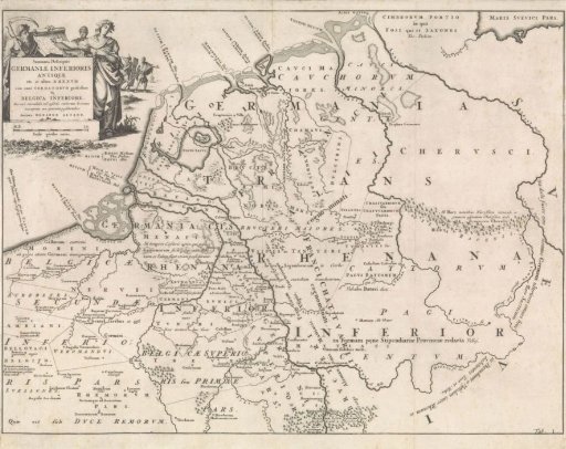 Historical map of the Netherlands at the time of the Frisians, Franks and Saxons I
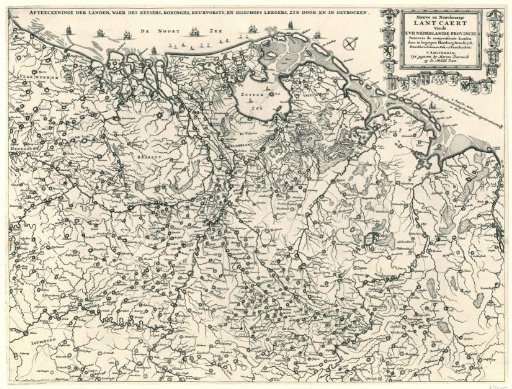 Map of the Netherlands showing the route taken by the French and Münsterite armies, ca. 1672-1674
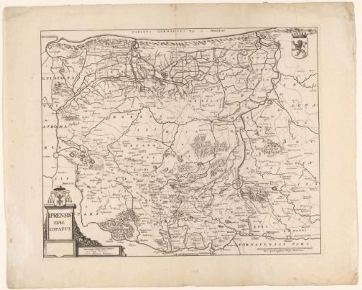 Map of the Diocese of Ypres
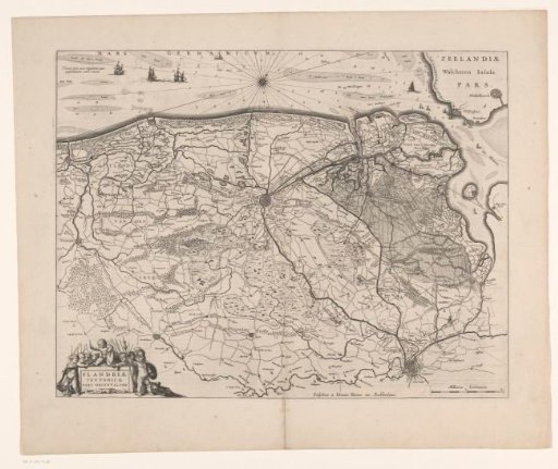 Map of the Brugse Vrije