Public domain
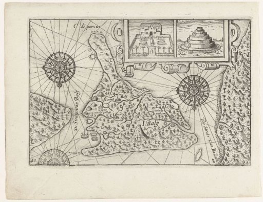
Map of Bali, 1597
From the collection of Rijksmuseum, Amsterdam. Free to download, adapt and use — no permission needed.
About this work
Map of the island of Bali, February 1597. At the top a cartouche with two buildings: on the left a building with a walled garden, on the right a stupa. Does not belong to the original illustrations in the travel report of the First Voyage of Cornelis de Houtman to the East Indies in 1595-1597. No. 41.
Rijksmuseum, Amsterdam’s own descriptionSubjects
Credit lineKaart van Bali, 1597. 1646. anonymous. Rijksmuseum, Amsterdam. Public domain.