Public domain
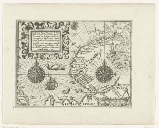
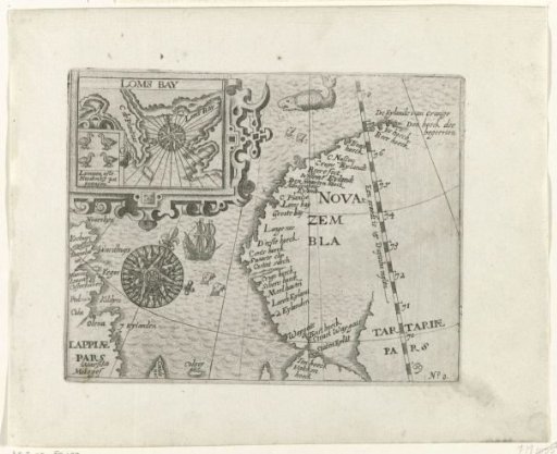
Map of Nova Zembla, 1594
From the collection of Rijksmuseum, Amsterdam. Free to download, adapt and use — no permission needed.
About this work
Map of the west coast of Nova Zembla, the area explored during the first voyage in 1594. On the left a compass rose and a cartouche with Loms Bay and birds. Copies after the original illustrations in the travel report of the voyage of Willem Barendsz and Jacob van Heemskerck in 1596-1597 and the stay on the island of Nova Zembla, No. 0.
Rijksmuseum, Amsterdam’s own descriptionCredit lineKaart van Nova Zembla, 1594. 1615 - 1617. anonymous. Rijksmuseum, Amsterdam. Public domain.