Public domain
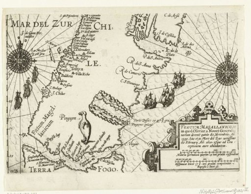
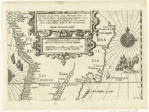
Map of the Coasts of Peru and Brazil, 1600
From the collection of Rijksmuseum, Amsterdam. Free to download, adapt and use — no permission needed.
About this work
Map with the coasts of Peru and Brazil, 1600. In the center two cartouches with title and scales. Part of the illustrations in the report of the voyage around the world by Olivier van Noort in 1598-1601. No. 12.
Rijksmuseum, Amsterdam’s own descriptionSubjects
Credit lineKaart met de kusten van Peru en Brazilië, 1600. 1601 - 1602. Baptista van Doetechum. Rijksmuseum, Amsterdam. Public domain.