Public domain
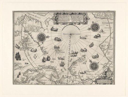
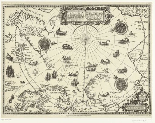
Map of the Countries Around the Polar Circle with the Three Voyages of the Dutch, 1598
From the collection of Rijksmuseum, Amsterdam. Free to download, adapt and use — no permission needed.
About this work
Map of Northern Europe and the countries around the polar circle, showing the three voyages of the Dutch at the end of the sixteenth century. Includes the east coast of Canada, Greenland, Iceland, northern Scandinavia, the northern coast of Russia, and Nova Zembla. At the top: a cartouche with the title in Latin and Dutch; in the lower right: the scales. In the sea: ships, whales, and seals. Facsimile of the original map from 1598.
Rijksmuseum, Amsterdam’s own descriptionCredit lineKaart van de landen rond de poolcirkel met de drie reizen van de Nederlanders, 1598. 1878. Arnoldus Antonius Johannes Pistoor. Rijksmuseum, Amsterdam. Public domain.