Public domain
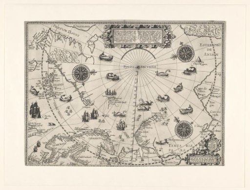
Map of the Arctic region, 1598
From the collection of Rijksmuseum, Amsterdam. Free to download, adapt and use — no permission needed.
About this work
Circumpolar map of the North Pole region, left above Greenland and part of North America, right the north coast of Russia (including the Bering Strait, here called the Strait of Anian). Below Scotland, the Netherlands, Scandinavia, Russia, and Nova Zembla; the undiscovered coasts are not drawn. The route of Barendsz indicated with dots and ships. Also Bear Island and Spitsbergen. In the sea whales, walruses, and seals.
Rijksmuseum, Amsterdam’s own descriptionCredit lineKaart van het Noordpoolgebied, 1598. 1598. Willem Barendsz.. Rijksmuseum, Amsterdam. Public domain.
Similar works
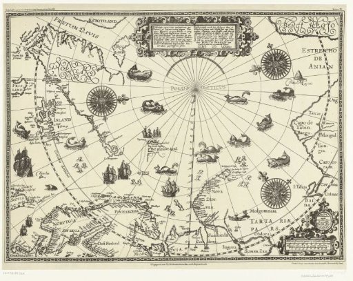 Map of the Countries Around the Polar Circle with the Three Voyages of the Dutch, 1598
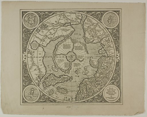 Map of the Mercator Projection
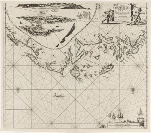 Chart of a part of the coast of Finnmark
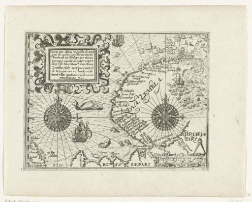 Map of Nova Zembla, 1597
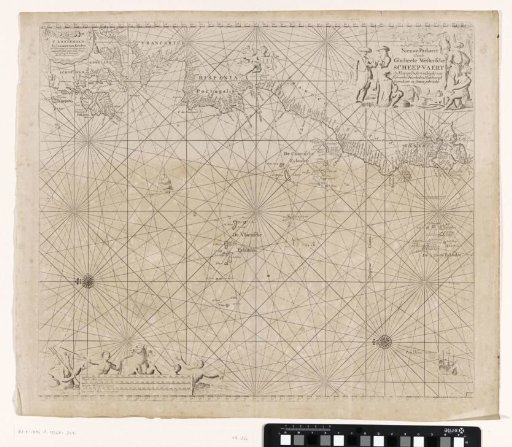 Chart of a part of the Atlantic Ocean with the west coast of Europe and a part of Africa
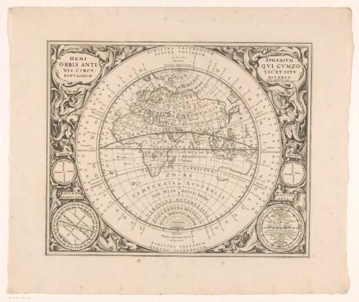 Map of the eastern hemisphere with various climate zones