Public domain
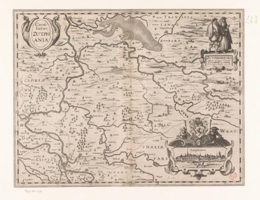
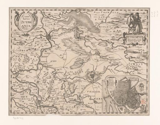
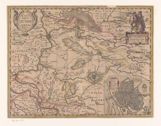
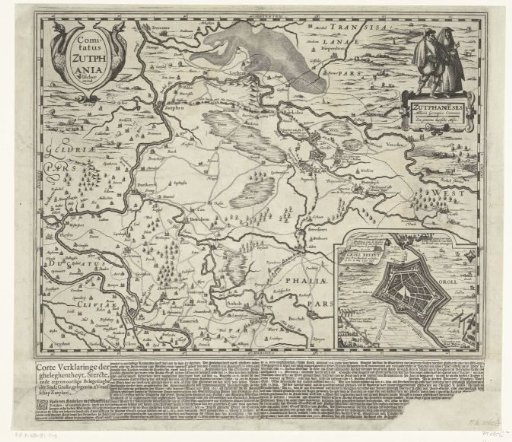
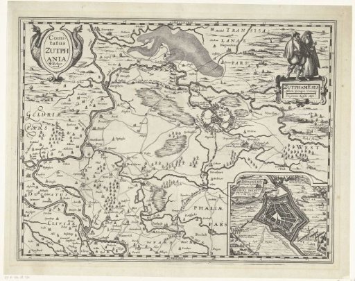
Map of the County of Zutphen, 1627
From the collection of Rijksmuseum, Amsterdam. Free to download, adapt and use — no permission needed.
About this work
Map of the County of Zutphen, 1627. Top right: two figures in regional costume. Bottom right: an inset with a plan of Groenlo besieged by the States' army under Frederik Hendrik in 1627. Without the text under the print.
Rijksmuseum, Amsterdam’s own descriptionCredit lineKaart van graafschap Zutphen, 1627. 1617. Pieter van der Keere. Rijksmuseum, Amsterdam. Public domain.