Public domain
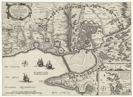
Map of the Siege of La Rochelle, 1627-1628
From the collection of Rijksmuseum, Amsterdam. Free to download, adapt and use — no permission needed.
About this work
Map of the French coast with the siege of La Rochelle by the States Army and France, September 1627 - October 1628. Encirclement of the rebellious city by the French royal troops under Cardinal Richelieu. In the lower right an inset with a map of the larger area. Two text sheets belong to this print.
Rijksmuseum, Amsterdam’s own descriptionCredit lineKaart van het beleg van La Rochelle, 1627-1628. 1628. Rijksmuseum, Amsterdam. Public domain.
Similar works
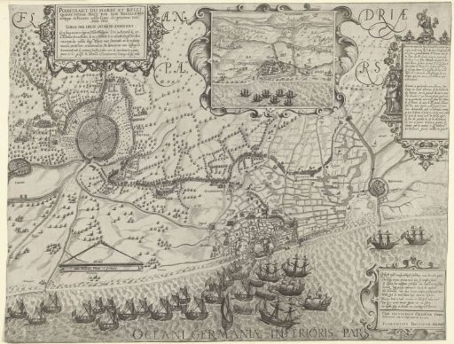 March of Maurice's Army to Ostend (Right Panel), 1600
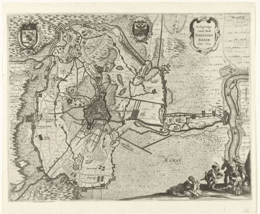 Map of the siege of 's-Hertogenbosch by Frederick Henry, 1629
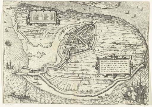 Map of the island of Voorne and plan of Brielle, 1572
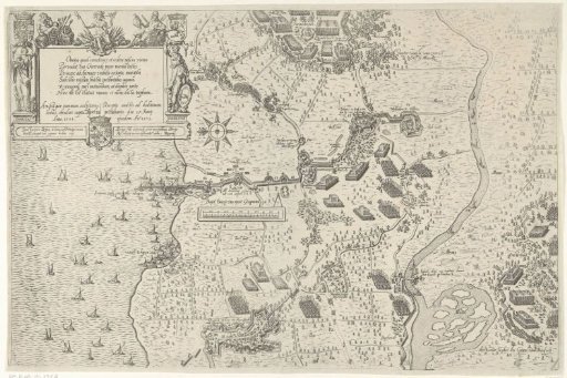 Siege and Capture of Geertruidenberg (upper sheet), 1593
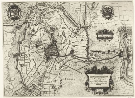 Map of the siege of 's-Hertogenbosch by Frederick Henry, 1629
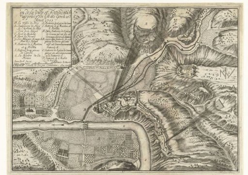 Map of the Bombardment and Capture of Huy, 1703