Public domain
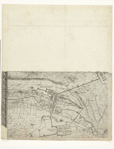
Large map of the siege of Maastricht, 1632, plate 1
From the collection of Rijksmuseum, Amsterdam. Free to download, adapt and use — no permission needed.
About this work
Large map of the siege and capture of Maastricht by the States Army under Stadtholder Frederick Henry, 9 June to 21 August 1632. Map composed of six sheets, three above and three below (the sixth sheet bottom right is missing). This is the first sheet top left. The upper half of this sheet is missing. With the army camps of Colonel Pinsen van der Aa and Hendrik Casimir I of Nassau-Dietz, Stadtholder of Friesland. With inscriptions in the image in French and Dutch.
Rijksmuseum, Amsterdam’s own descriptionCredit lineGrote kaart van het beleg van Maastricht, 1632, plaat 1. 1632. Salomon Savery. Rijksmuseum, Amsterdam. Public domain.
Similar works
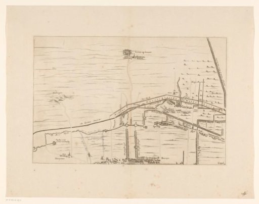 Map of the area between Den Bosch and Geertruidenberg with dike breaches (second sheet)
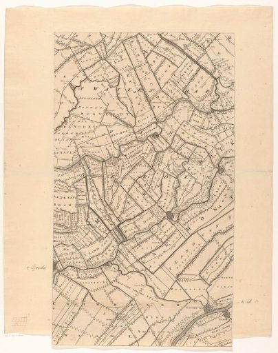 Map of the province of Utrecht (second part from the bottom)
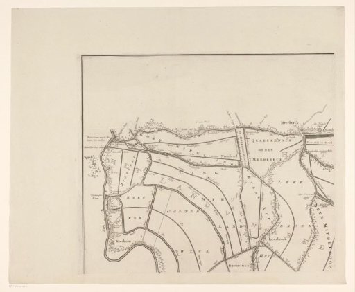 Map of the Vijfheerenlanden (top left part)
 Map of the coast at Dunkirk and of the Flemish coast from Walcheren to Boulogne, 1631
 Sea chart of the coast of Flanders, from Walcheren to Calais
 The Siege of Breda