Public domain
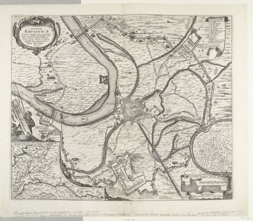
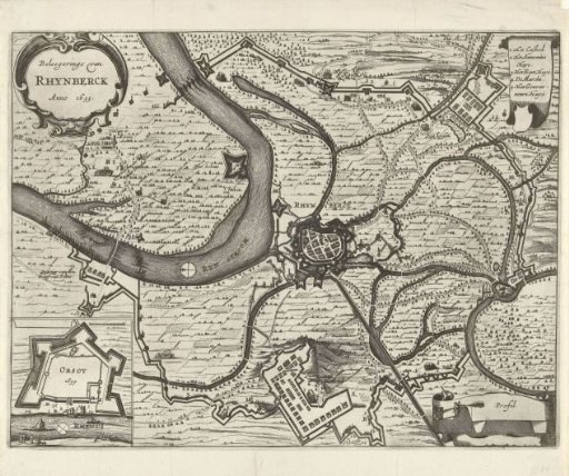
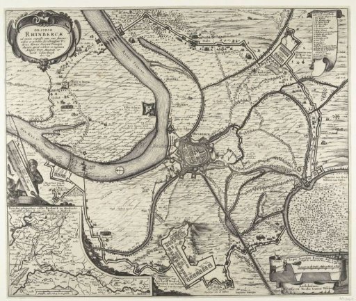
Map of the conquest of Rijnberg, 1633
From the collection of Rijksmuseum, Amsterdam. Free to download, adapt and use — no permission needed.
About this work
Map of the siege and capture of Rijnberg by the States' army under Frederick Henry, 16 May – 2 June 1633. Centrally, the city of Rijnberg on the Rhine, at the bottom the quarters of the stadtholder. Top right, a scroll with the legend 1-20 in Dutch. Bottom left, an inset with a map of the area between Rijnberg and Maastricht with a border featuring fishermen. Unprinted on the reverse.
Rijksmuseum, Amsterdam’s own descriptionSubjects
Credit lineKaart van de verovering van Rijnberg, 1633. 1633. Claes Jansz. Visscher (II). Rijksmuseum, Amsterdam. Public domain.