Public domain
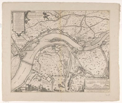
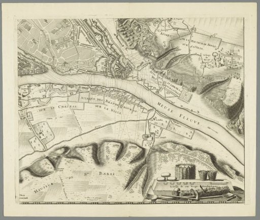
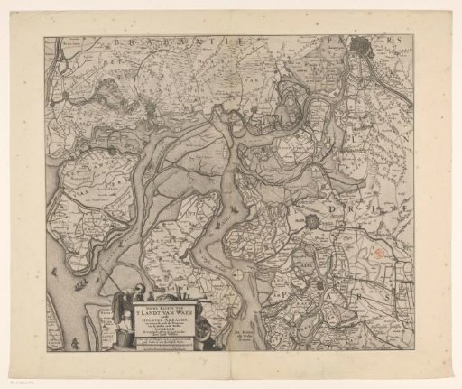
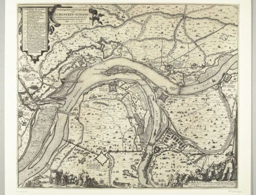
Map with the siege and capture of Schenkenschans by Frederick Henry, 1635-1636
From the collection of Rijksmuseum, Amsterdam. Free to download, adapt and use — no permission needed.
About this work
Map of the siege and capture of Schenckenschans, located at the junction of the Rhine and Waal, by the States' army under Frederick Henry, 1635-1636. Top left the title and the legend 1-25. Bottom right soldiers and a fisherman with two rods and a compass. At the bottom in the foreground several figures.
Rijksmuseum, Amsterdam’s own descriptionCredit lineKaart met beleg en verovering van Schenckenschans door Frederik Hendrik, 1635-1636. 1636. Rijksmuseum, Amsterdam. Public domain.