Public domain
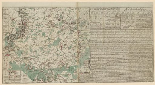
Map of the battlefield in the province of Namur, 1790
From the collection of Rijksmuseum, Amsterdam. Free to download, adapt and use — no permission needed.
About this work
Map of the battlefield in the current province of Namur (indicated on the map as 'Pays de Liege') during the Brabantian Revolution, 1789–1790. The map shows part of the area around the Meuse between Givet and Dinant and the area east of the Meuse to Marche-en-Famenne and Nassogne. On the map are indicated the places where skirmishes took place between the rebellious Belgian troops and the Austrian army and the battle orders there. On the right a large text section with a table of the sizes of the armies per month and an overview of the different 'affaires'. Numbered top left: No. 3. Printed from two plates.
Rijksmuseum, Amsterdam’s own descriptionCredit lineKaart van het strijdtoneel in de provincie Namen, 1790. 1790. Jean-Baptiste De Bouge. Rijksmuseum, Amsterdam. Public domain.
Similar works
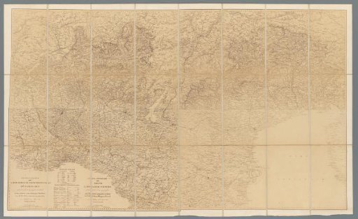 Photographic reproduction in 24 parts of a map of the Kingdom of Lombardy-Venice
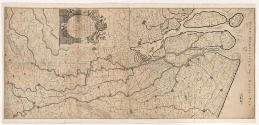 Map of the Course of the Rhine and the Meuse
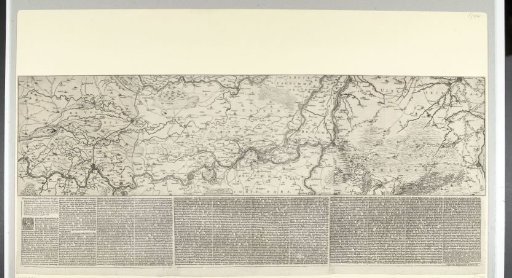 Map of the Rhine basin with the siege of Schenckenschans, 1635
 Illustrated Large Picture Map of Edo
 Map of the grietenij Hennaarderadeel
 Map showing the properties of the Maatschappij van Weldadigheid in Drenthe and Overijssel