Public domain
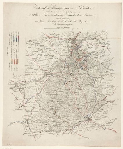
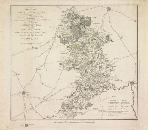
Plan of the Battle of Waterloo, 1815
From the collection of Rijksmuseum, Amsterdam. Free to download, adapt and use — no permission needed.
About this work
Map of the region between Brussels and Charleroi where battles were fought between 16-18 June 1815 at Ligny, Wavre, Quatre-Bras and Waterloo between the armies of the Allies and the French army under Napoleon. With titles and legend in Dutch and French. The different armies indicated in colors.
Rijksmuseum, Amsterdam’s own descriptionCredit linePlan van de Slag bij Waterloo, 1815. 1815. Johannes Fredericus Lange. Rijksmuseum, Amsterdam. Public domain.