Public domain
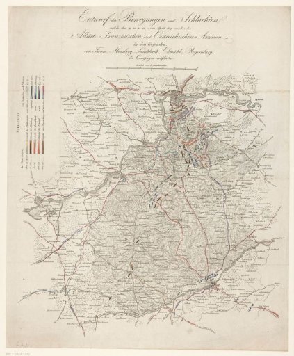
Map showing the positions of the Allied and French troops, 1809
From the collection of Rijksmuseum, Amsterdam. Free to download, adapt and use — no permission needed.
About this work
Map of the area in Bavaria between Regensburg, Landshut, and Ingolstadt, showing the positions of the Allied and French troops in colors for the days 19-22 April, preceding the Battle of Ratisbon (Regensburg) on 23 April 1809. On the reverse, a pasted note "Bemerkung".
Rijksmuseum, Amsterdam’s own descriptionCredit lineKaart met de posities van de geallieerde en Franse troepen, 1809. 1809 - 1875. anonymous. Rijksmuseum, Amsterdam. Public domain.
Similar works
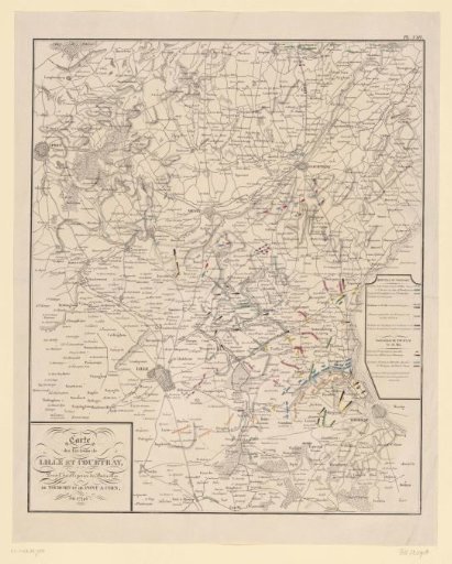 Map of the war area around Lille, Tournai and Courtrai, 1794
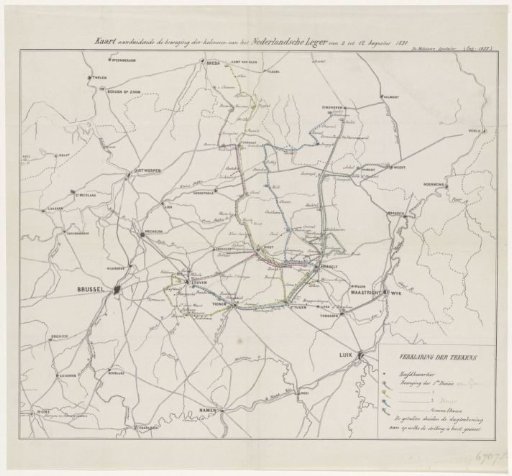 Map of Dutch troop movements during the Ten Days' Campaign, 1831
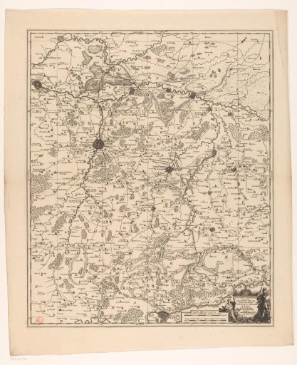 Map of the quarter of Leuven, part of the Duchy of Brabant
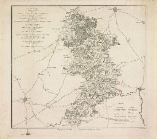 Plan of the Battle of Waterloo, 1815
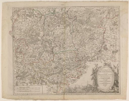 Map of the southern part of the Duchy of Brabant
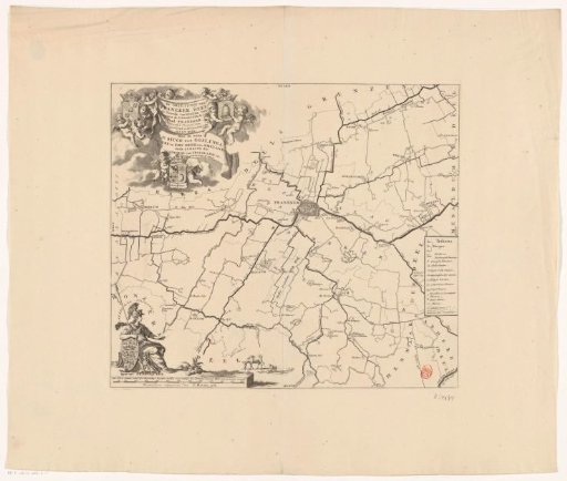 Map of the Grietenij Franekeradeel