Public domain
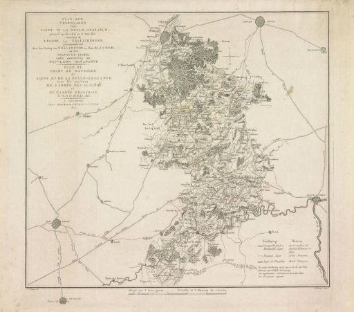
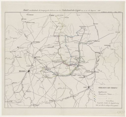
Map of Dutch troop movements during the Ten Days' Campaign, 1831
From the collection of Rijksmuseum, Amsterdam. Free to download, adapt and use — no permission needed.
About this work
Map of the Southern Netherlands and the north of Belgium showing the routes taken by the four divisions of the Dutch troops during the Ten Days' Campaign, 2–12 August 1831. The routes of the four divisions are indicated in different colours. Legend in the bottom right.
Rijksmuseum, Amsterdam’s own descriptionSubjects
Credit lineKaart van Nederlandse troepenbewegingen tijdens de Tiendaagse Veldtocht, 1831. 1855. anonymous. Rijksmuseum, Amsterdam. Public domain.