Public domain
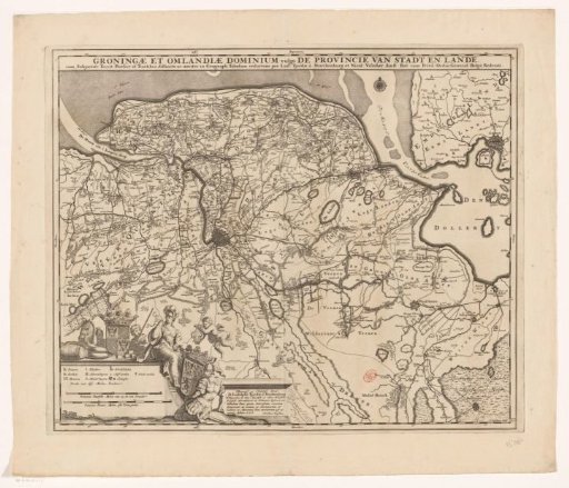
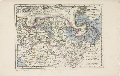
Map of the area in Groningen affected by the floods of 1825
From the collection of Rijksmuseum, Amsterdam. Free to download, adapt and use — no permission needed.
About this work
Map of the province of Groningen and the German East Frisia, showing the areas affected by the floods in February 1825 in blue and the places where the dikes were breached in red. At the bottom of the sheet one line of handwriting. Part of a series of five maps of the affected areas.
Rijksmuseum, Amsterdam’s own descriptionCredit lineKaart van het gebied in Groningen getroffen door de overstromingen in 1825. 1825. anonymous. Rijksmuseum, Amsterdam. Public domain.