Public domain
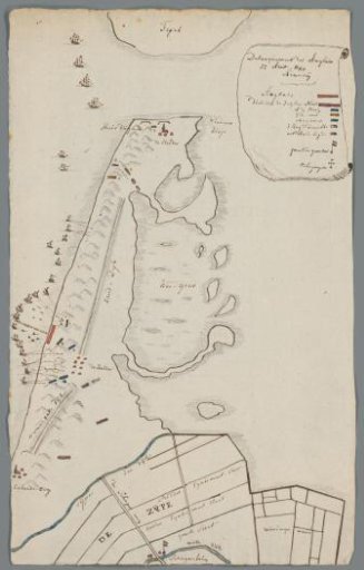
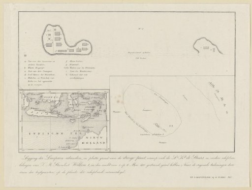
Map of the Lucipera Islands with the Places of Residence of the Shipwrecked Crew of the Steamship Willem I, 1837
From the collection of Rijksmuseum, Amsterdam. Free to download, adapt and use — no permission needed.
About this work
Map of the Lucipera Islands with the locations of the shipwrecked of the stranded paddle steamer Willem I, after the ship ran aground during the night of 5 to 6 May 1837. Sheet with three maps: at the top a detailed plan of the small island with the location of the various tents, bottom left an overview map of the Indonesian archipelago, bottom right a map of the various islands and the place where the ship ran aground on the coral reef.
Rijksmuseum, Amsterdam’s own descriptionCredit lineKaart van de Lucipera eilanden met de verblijfplaatsen van de schipbreukelingen van het stoomschip Willem I, 1837. 1837. anonymous. Rijksmuseum, Amsterdam. Public domain.