Public domain
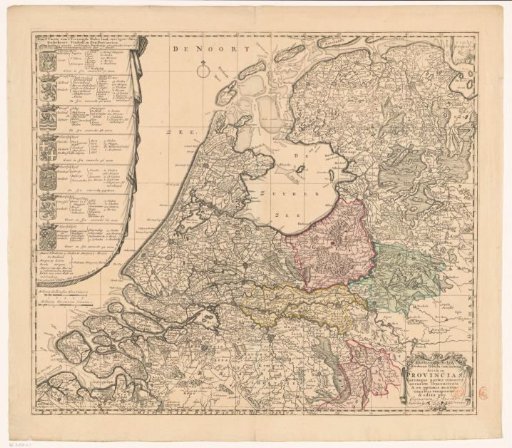
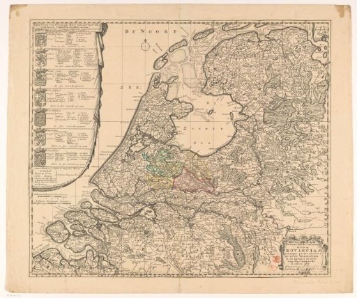
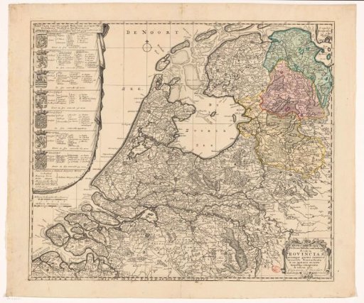
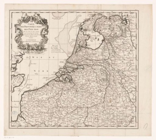
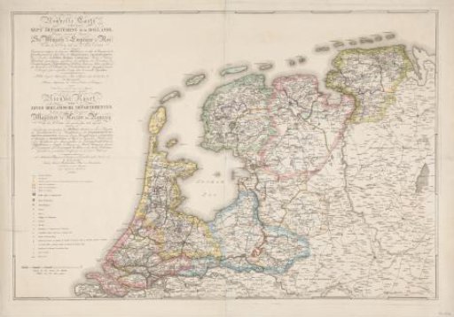
New Map of the Seven Departments of Holland (...) / Nieuwe Kaart der Zeven Hollandsche Departementen. Distributed in accordance with the Decree of His Majesty the Emperor and King of 21 October 1811, Implemented in 1812
From the collection of Rijksmuseum, Amsterdam. Free to download, adapt and use — no permission needed.
About this work
Map of the new division of the Netherlands into seven departments according to the imperial decree of 21 October 1811, implemented in the year 1812. On the left, the extended titles in French and Dutch, below which the legend with an explanation of the symbols used.
Rijksmuseum, Amsterdam’s own descriptionSubjects
Credit lineNouvelle Carte des Sept Departemens de la Hollande (...) / Nieuwe Kaart der Zeven Hollandsche Departementen. Verdeeld ingevolge het Decreet van Zijne Majesteit de Keizer en Koning van den 21 October 1. 1811 - 1812. Jan Gerritsz. Visser. Rijksmuseum, Amsterdam. Public domain.