Public domain
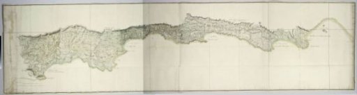
Map of the south coast of South Africa between Cape Agulhas and the Sundays River
From the collection of Rijksmuseum, Amsterdam. Free to download, adapt and use — no permission needed.
About this work
The map covers the coastal area between Cape Agulhas in the west and the mouth of the Sundays River in the east, bounded in the north by the line Swellendam - Platte Kloof - Langebergen - Outeniqua Mountains - Langkloof Mountains - Zwartkop; with names of the different areas, farms, inhabitants, as well as images of some animals; revealed by means of a guide map, depicted as left and right halves, with longitude and latitude degrees.
Rijksmuseum, Amsterdam’s own descriptionSubjects
Credit lineMap of the south coast of South Africa between Cape Agulhas and the Sundays River. after 1789 - 1790. Robert Jacob Gordon. Rijksmuseum, Amsterdam. Public domain.
Similar works
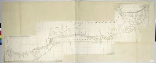 Map of the South Coast of the Cape from Table Bay to the Great Kei River.
 Map of the Province of Utrecht (Upper Part)
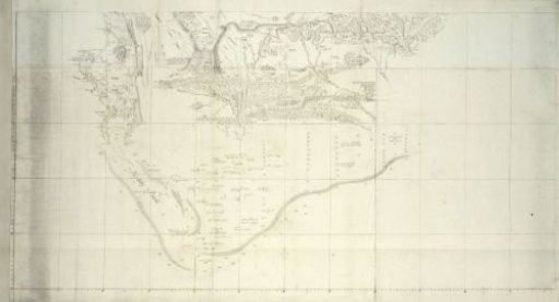 Map of the Southern Part of South Africa
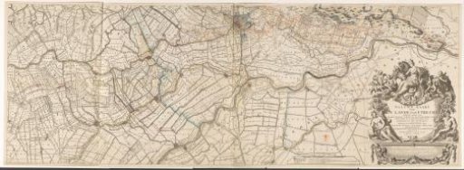 Map of the province of Utrecht (lower part)
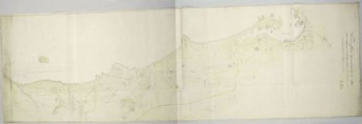 Map of the west coast between Saldanha Bay and Table Bay
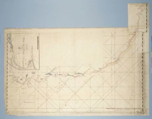 Map of the Coast from Saldanha Bay to Richard's Bay, with a Detailed Map of Mossel Bay Inserted