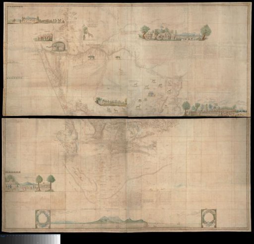
Map of South Africa
From the collection of Rijksmuseum, Amsterdam. Free to download, adapt and use — no permission needed.
Map in two halves. Upper half: covers the area bounded by a line north and east of the mouth of the Orange River, to the Great Tarka River in the south and to the west coast at Lambert's Bay; the west coast extends to 28° S; text decoded via guide map with depth indications. Also contains various images of inhabitants and animals, as well as a panoramic 'View of Table Mountain and Cape Town from the sea'. Lower half: covers the area bounded in the north by the line 32° S; further by a line running from the northeast from 32° S to the west coast via Saldanha Bay at 32° S; the sea is only described south of the coast from Hout Bay to the mouth of the Sunday River. Also contains various images of inhabitants and animals; text decoded by means of a guide map with depth indications.
Rijksmuseum, Amsterdam’s own descriptionSimilar works
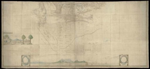 Lower (southern) half of Gordon's great map of Southern Africa
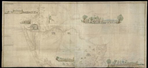 Upper (northern) half of Gordon's great map of Southern Africa
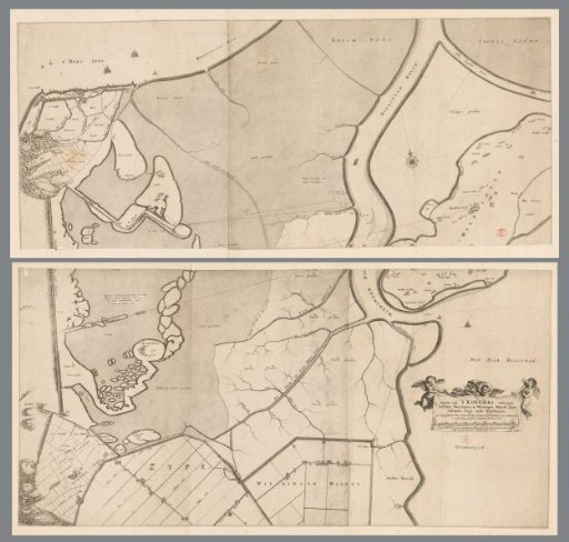 Map of the polder Koegras, consisting of two parts
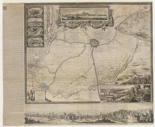 Siege and capture of Hulst by Frederick Henry, 1645
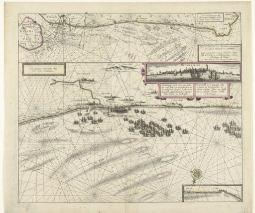 Map of the coast near Dunkirk and of the Flemish coast from Walcheren to Boulogne, 1631
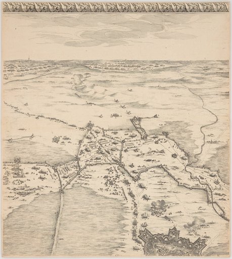 The Siege of Breda