Public domain
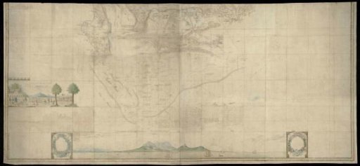
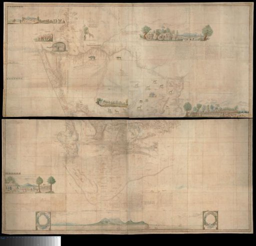
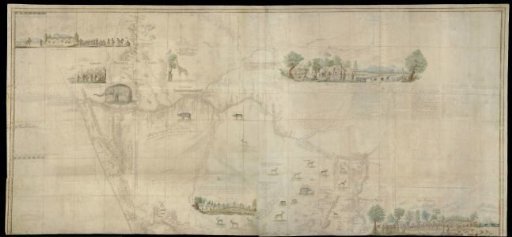
Upper (northern) half of Gordon's great map of Southern Africa
From the collection of Rijksmuseum, Amsterdam. Free to download, adapt and use — no permission needed.
About this work
Map in two halves. This part covers the area bounded by a line north and east of the mouth of the Orange River, to the Great Tarka River in the south and to the west coast at Lambert's Bay; the west coast extends to 28º S; text revealed by means of a guide map with degree indications. Also contains various images of inhabitants and animals, as well as a panoramic 'View of Table Mountain and Cape Town from the sea'.
Rijksmuseum, Amsterdam’s own descriptionSubjects
Credit lineUpper (northern) half of Gordon's great map of Southern Africa. 1786-01 - 1786-03. Rijksmuseum, Amsterdam. Public domain.