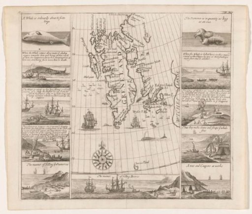
Map of Spitsbergen by Thomas Edge, 1625
From the collection of Rijksmuseum, Amsterdam. Free to download, adapt and use — no permission needed.
Map of the west coast of Spitsbergen (marked on the map as 'Greneland'), with the coastline indicated as far as known. Along the coastline, many English toponyms are marked. In the sea area, birds, walruses, a whale, a rowboat with four people, and two ships. On the land area, reindeer and foxes. In the lower middle of the map section, a compass rose pointing north; further on the map, degree arcs with indications of latitude (75 to 80). On either side of the map section, two rows of five images each, mainly concerning whaling, some concerning the hunting of walruses and bears. Each image has inscriptions in English. Below the map section, an eleventh image of polar bear hunting.
Rijksmuseum, Amsterdam’s own descriptionSimilar works
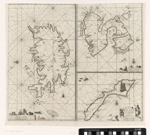 Three-part chart of Iceland, Jan Mayen Island and Spitsbergen
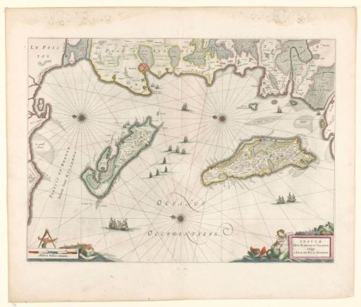 Map of the French coast near La Rochelle and the islands of Ré and Oleron
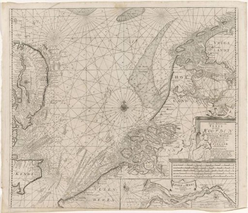 Chart of the southern part of the North Sea and a part of the east coast of England
 Design Drawing of the New Stone Sea Dike East of Muiden
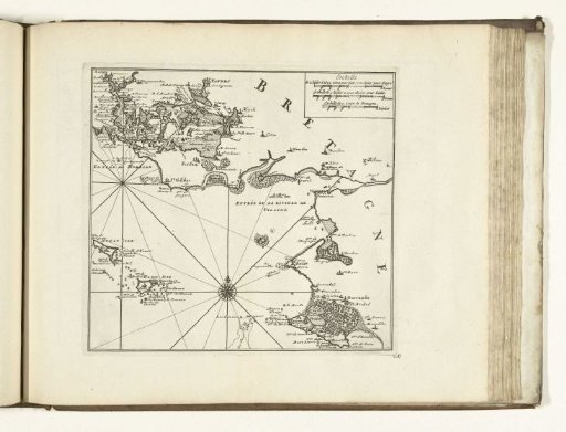 Map of the South Coast of Brittany near Vannes, 1726
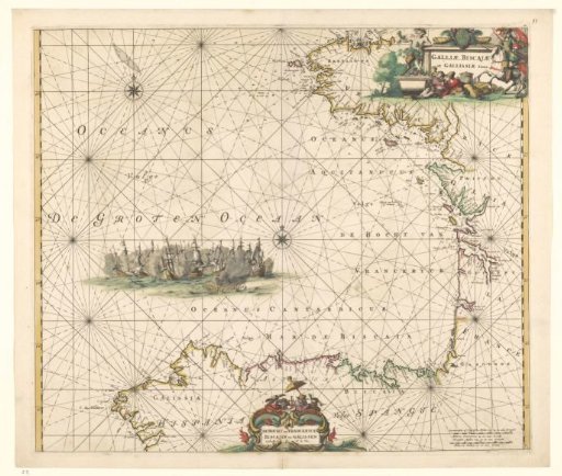 Sea chart of the Bay of Biscay