Public domain
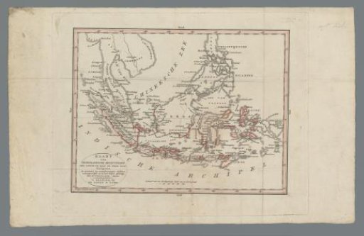
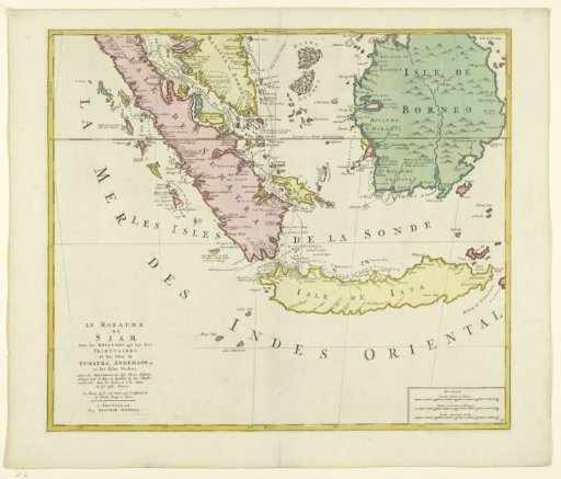
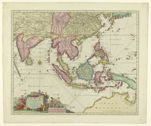
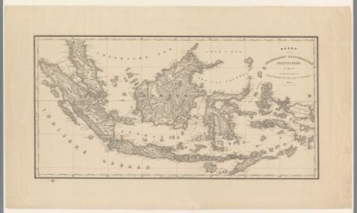
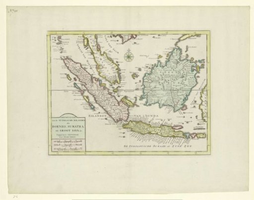
Map of the Indonesian archipelago
From the collection of Rijksmuseum, Amsterdam. Free to download, adapt and use — no permission needed.
About this work
Map of Indonesia, with different areas colored differently; a compass rose at the top center; the title at the bottom left with the scale in German, English, and French miles below it. Outside the map, at the far top left of the sheet, is: no. 90.
Rijksmuseum, Amsterdam’s own descriptionCredit lineKaart van de Indonesische archipel. 1744. Isaak Tirion. Rijksmuseum, Amsterdam. Public domain.