Public domain
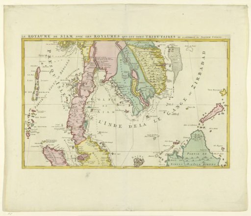
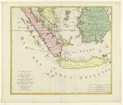
Map of the Kingdom of Siam (lower half)
From the collection of Rijksmuseum, Amsterdam. Free to download, adapt and use — no permission needed.
About this work
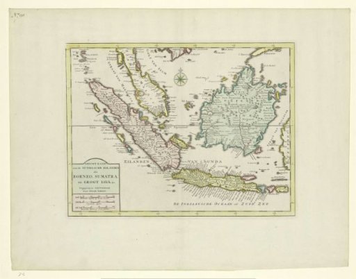
Map of the Kingdom of Siam (Kingdom of Ayutthaya) and its vassal states. Different areas are colored differently. Depicted are the islands of Sumatra, Java, and Borneo and a piece of Malacca. A dotted line and a solid line indicate the route of the Jesuit cartographers, sent by the king, through the area, from the top center to the middle. At the bottom right, the scale in French, German, and nautical miles. Lower part of a map of the entire kingdom.
Rijksmuseum, Amsterdam’s own descriptionCredit lineKaart van het Koninkrijk Siam (onderste helft). 1700 - 1750. Joachim Ottens. Rijksmuseum, Amsterdam. Public domain.