Public domain
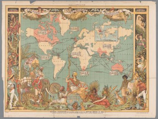
World map with the colonial British Empire, 1886
From the collection of Rijksmuseum, Amsterdam. Free to download, adapt and use — no permission needed.
About this work
World map showing the former British Colonial Empire, as of 1886. At the bottom center sits the British maiden, Britannia, on a globe carried by human labor in the form of Atlas. Around her, various personifications of the colonies. Above, three figures with a banner forming the motto 'Freedom, Fraternity and Federation'. In the upper left, an inset map of the British Colonial Empire as of 1786. For some colonies, an inset with corresponding information.
Rijksmuseum, Amsterdam’s own descriptionCredit lineWereldkaart met het koloniale Britse Rijk, 1886. 1886. Walter Crane. Rijksmuseum, Amsterdam. Public domain.
Similar works
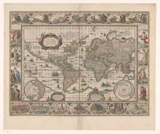 World map with decorative borders
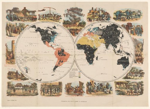 Mission World Map and Religious Scenes
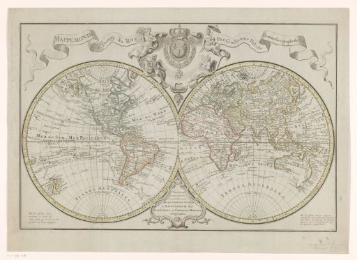 World Map, Divided into Maps of the Eastern and Western Hemispheres
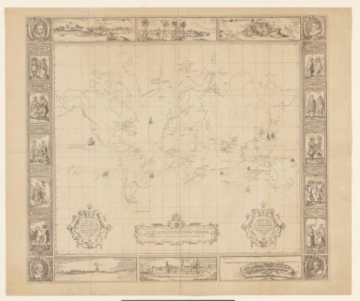 Map of the most important Voyages and Discoveries made by the Dutch (...)
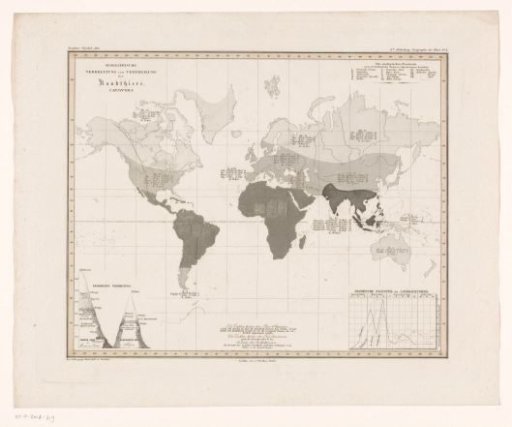 World map showing the density of predators per area
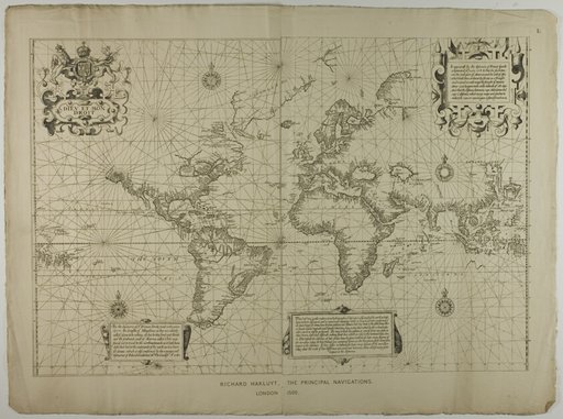 Richard Hakluyt, the Principal Navigations, London