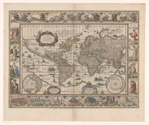
World map with decorative borders
From the collection of Rijksmuseum, Amsterdam. Free to download, adapt and use — no permission needed.
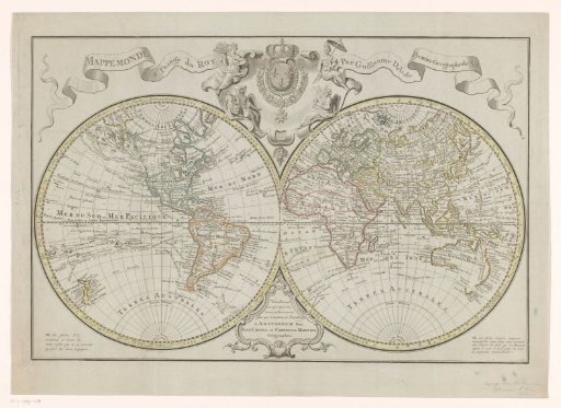
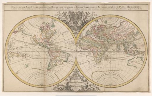
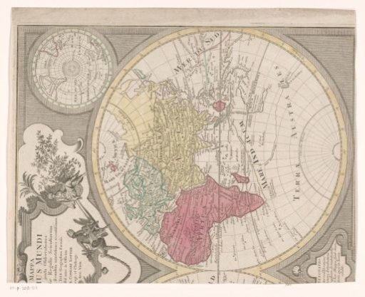
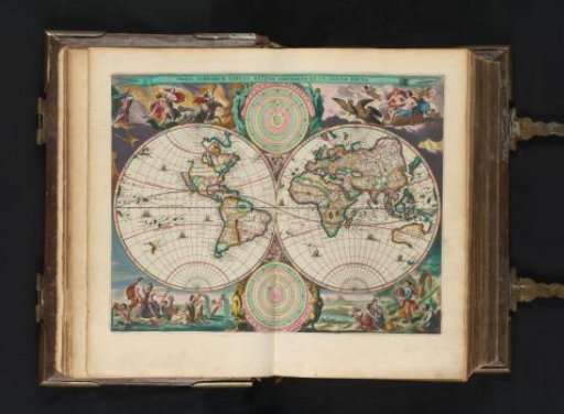
World map with decorative borders. At the top of the map the title. In the upper left a cartouche with a text about America. Below, to the right of the center, a cartouche with dedication and the coat of arms of Cornelis Pietersz. Hooft. In the lower left a map of the North Pole, in the lower right a map of the South Pole. In the border above the map an allegory of the six planets and the sun. In the left border an allegory of the four elements. In the right border an allegory of the four seasons. In the border below the map the seven wonders of the ancient world. The map is provided with a coordinate grid and a degree division along the edges. With Dutch text on the verso.
Rijksmuseum, Amsterdam’s own description