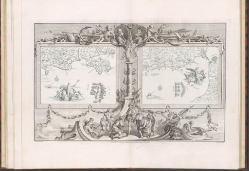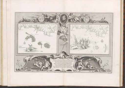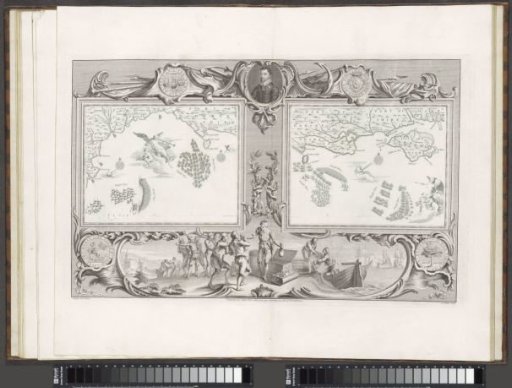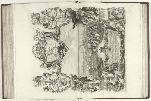
Maps of the Spanish Armada (16 and 21 July 1588)
From the collection of Rijksmuseum, Amsterdam. Free to download, adapt and use — no permission needed.
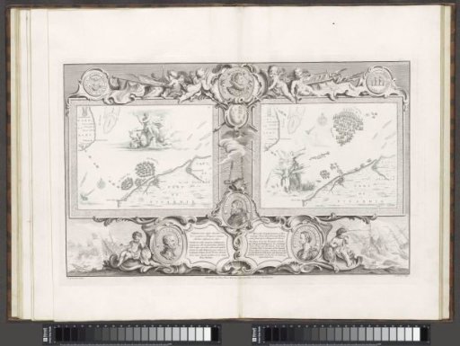
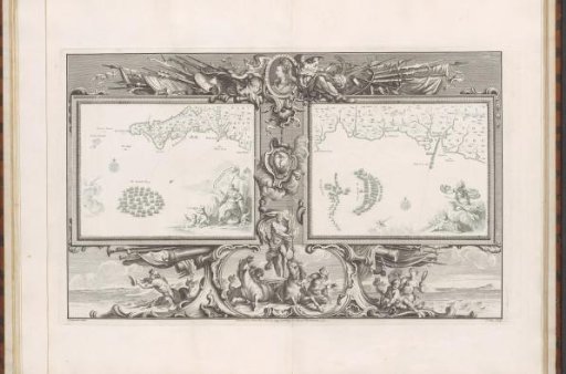
Two maps (I-II) depicting the Spanish fleet in the Channel off the coast of Cornwall and Devon, within an ornamental frame. At the top of the frame, a medallion with the portrait of Queen Elizabeth I, flanked by the personifications of History and Fame, seated among weapons (spears, shields, banners). Below the medallion hangs a cartouche with the Anchor of Hope, the emblem of the English Admiralty, surrounded by the four winds. Below that, Neptune in his chariot drawn by two horses and accompanied by two men with fish tails. In the right corner of the left map, Britannia with two putti by a rock at the water's edge. One of the putti looks out to sea through a telescope. On the right map, Minerva and a putti with the coat of arms of Charles Howard. The image is part of a book about the Spanish Armada and the tapestries commissioned by Howard on that subject.
Rijksmuseum, Amsterdam’s own description