Public domain
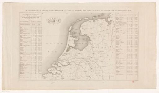
Map of the northern provinces of the Kingdom of the Netherlands
From the collection of Rijksmuseum, Amsterdam. Free to download, adapt and use — no permission needed.
About this work
Map of the northern provinces of the Kingdom of the Netherlands. The main triangulation used by Baron Krayenhoff is drawn in. On the left and right of the map, an alphabetical table with the stations and their coordinates used for the triangulation. Bookmark of the so-called Krayenhoff map. The map is equipped with a search grid.
Rijksmuseum, Amsterdam’s own descriptionSubjects
Credit lineKaart van de noordelijke provincies van het Koninkrijk der Nederlanden. c. 1821. anonymous. Rijksmuseum, Amsterdam. Public domain.
Similar works
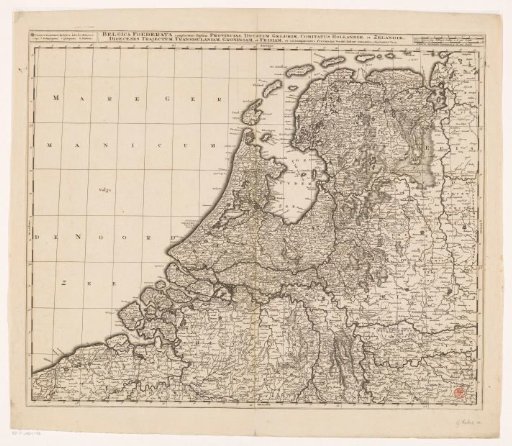 Map of the Republic of the Seven United Netherlands
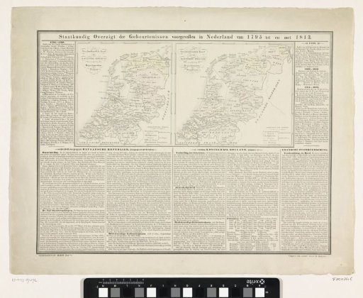 Overview of events 1795-1813
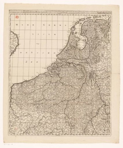 Map of the Seventeen Provinces
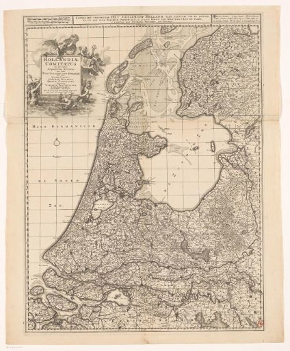 Map of the County of Holland
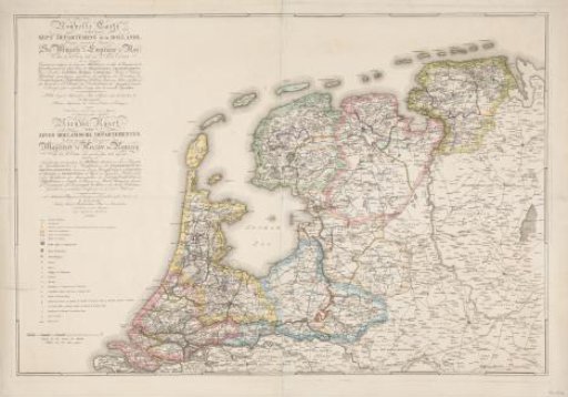 New Map of the Seven Departments of Holland (...) / Nieuwe Kaart der Zeven Hollandsche Departementen. Distributed in accordance with the Decree of His Majesty the Emperor and King of 21 October 1811, Implemented in 1812
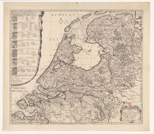 Map of the Republic of the Seven United Netherlands