Public domain
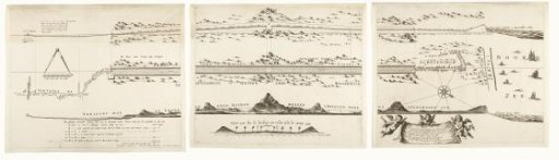
Map of the construction of the road from The Hague to Scheveningen, 1664-1665 (consisting of three parts)
From the collection of Rijksmuseum, Amsterdam. Free to download, adapt and use — no permission needed.
About this work
Map of the construction of the road from The Hague through the dunes to the beach at Scheveningen, 1664-1665. This road, today known as the Scheveningseweg, was designed by Constantijn Huygens and completed in 1665. Top left, a scale for measuring height: 40 feet Rhineland. Below it, a compass with a scale for measuring length: This compass covers sixty rods Rhineland. Bottom center, a cross-section of the road with a scale: 18 rods Rhineland. To the right of it, a cloth held up by three putti with a Latin verse by Huygens. Top right, the height of the water level during the storm surge of 5 December 1665 is indicated.
Rijksmuseum, Amsterdam’s own descriptionCredit lineKaart van de aanleg van de straatweg van Den Haag naar Scheveningen, 1664-1665 (bestaande uit drie delen). 1667 - 1713. Frederik de Wit. Rijksmuseum, Amsterdam. Public domain.
Similar works
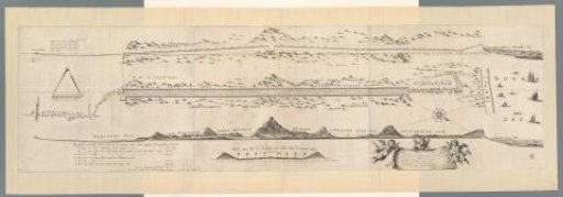 Map of the Construction of the Road from The Hague to Scheveningen, 1664-1665
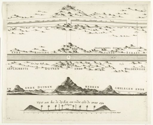 Map of the Construction of the Road from The Hague to Scheveningen, 1664-1665 (Second Sheet)
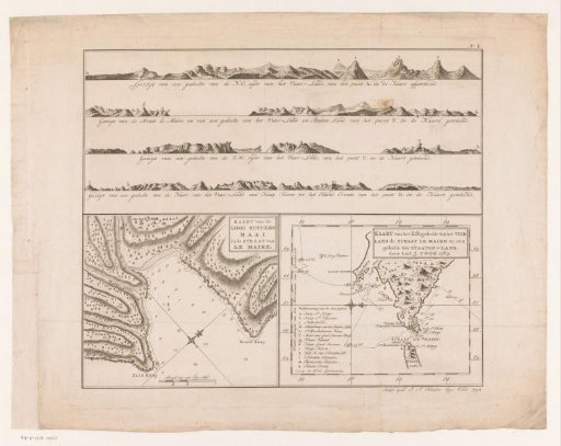 Maps of Tierra del Fuego, Le Maire, and Staten Land
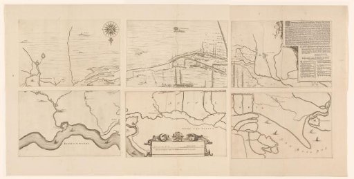 Map of the area between 's-Hertogenbosch and Geertruidenberg with dike breaches, consisting of six sheets
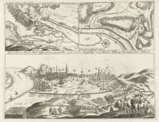 Three views of the siege of Buda, 1685-1686
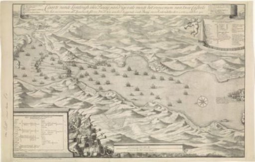 Map of the Battle of Vigo, 23 October 1702