Public domain
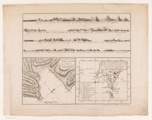
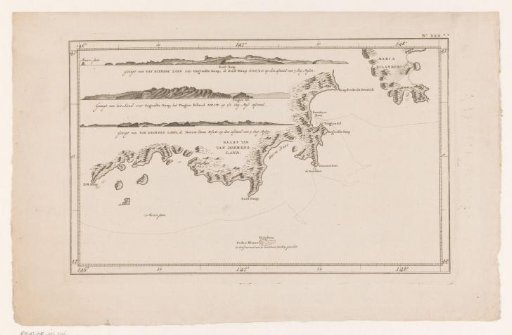
Maps of Tierra del Fuego, Le Maire, and Staten Land
From the collection of Rijksmuseum, Amsterdam. Free to download, adapt and use — no permission needed.
About this work
Above coastal views of the area near Tierra del Fuego. Bottom left a map of Good Success Bay and bottom right a map of Tierra del Fuego, the Le Maire Strait and a part of Staten Land made by James Cook in 1769.
Rijksmuseum, Amsterdam’s own descriptionCredit lineKaarten van Vuurland, Le Maire en Staaten-Land. 1794. Joseph Sebastian Klauber. Rijksmuseum, Amsterdam. Public domain.
Similar works
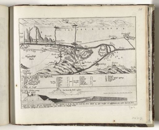 Map of the Area Around Speyer with Design for the Fortress Philippsburg, 1618
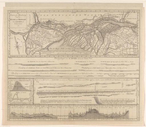 Overview sheet for the map of the Merwede
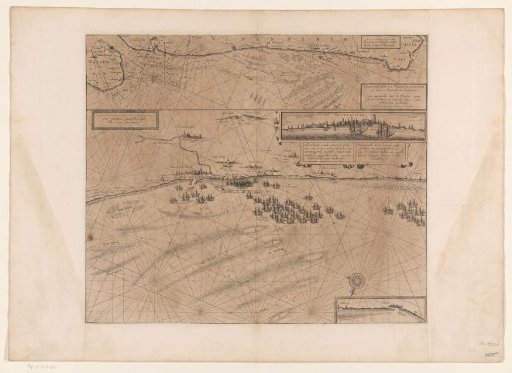 Map of the coast at Dunkirk and of the Flemish coast from Walcheren to Boulogne, 1631
 Map and views of the coast of Tasmania
 Map of the area between 's-Hertogenbosch and Geertruidenberg with dike breaches, consisting of six sheets
 Two Maps of the Course of the Rhine in the Netherlands