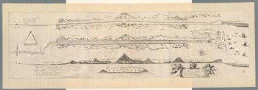
Map of the Construction of the Road from The Hague to Scheveningen, 1664-1665
From the collection of Rijksmuseum, Amsterdam. Free to download, adapt and use — no permission needed.
Map of the construction of the road from The Hague through the dunes to the beach at Scheveningen, 1664-1665. This road, today known as the Scheveningseweg, was designed by Constantijn Huygens and completed in 1665. In the upper left a scale bar for measuring height: 40 feet Rhineland. Below it a compass with a scale bar for measuring length: This compass comprises sixty rods Rhineland. In the center bottom a cross-section of the road with a scale bar: 18 rods Rhineland. To the right thereof a cloth held up by three putti with a Latin verse by Huygens. In the upper right the height of the water level during the storm surge of December 5, 1665 is indicated.
Rijksmuseum, Amsterdam’s own descriptionSimilar works
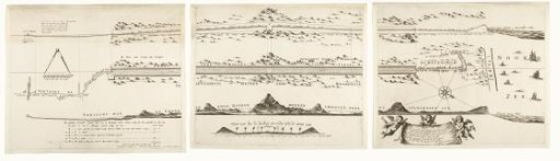 Map of the construction of the road from The Hague to Scheveningen, 1664-1665 (consisting of three parts)
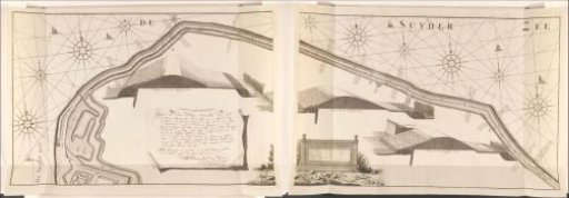 Map of the sea dike east of Muiden, 1737, consisting of two parts
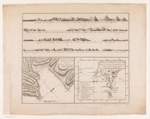 Maps of Tierra del Fuego, Le Maire, and Staten Land
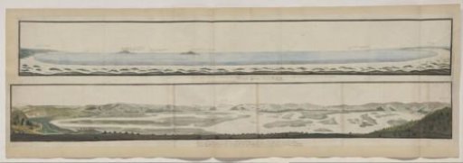 Panorama of the Knysna River and the defile through which it flows into the sea.
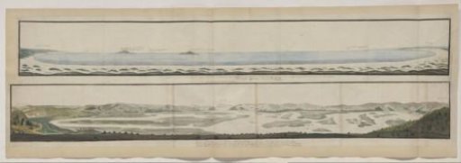 Panorama of Algoa Bay, seen from the beach
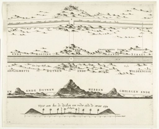 Map of the Construction of the Road from The Hague to Scheveningen, 1664-1665 (Second Sheet)