Public domain
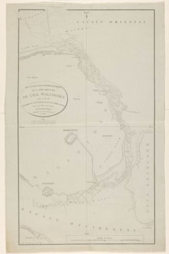
Map of the east coast of Walcheren
From the collection of Rijksmuseum, Amsterdam. Free to download, adapt and use — no permission needed.
About this work
Map of the east coast of Walcheren, with depth numbers. The title cartouche is at the top left, slightly off-center. A scale bar at the bottom right: Echele de toises.
Rijksmuseum, Amsterdam’s own descriptionCredit lineKaart van de oostkust van Walcheren. 1802 - 1803. anonymous. Rijksmuseum, Amsterdam. Public domain.