Public domain
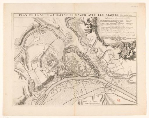
Map of the city of Namur with the castle, besieged by the French army, 1692
From the collection of Rijksmuseum, Amsterdam. Free to download, adapt and use — no permission needed.
About this work
Plan of the city of Namur with the castle, besieged by the French army, 25 May - 30 June 1692. In the upper right the legend A-E, a-r and 1-10 in French, with putti and the coat of arms of the King of France. Below, to the right of the center, a scale bar: 300 Verges de Rhynlande.
Rijksmuseum, Amsterdam’s own descriptionCredit linePlattegrond van de stad Namen met het kasteel, belegerd door het Franse leger, 1692. 1692 - 1720. anonymous. Rijksmuseum, Amsterdam. Public domain.
Similar works
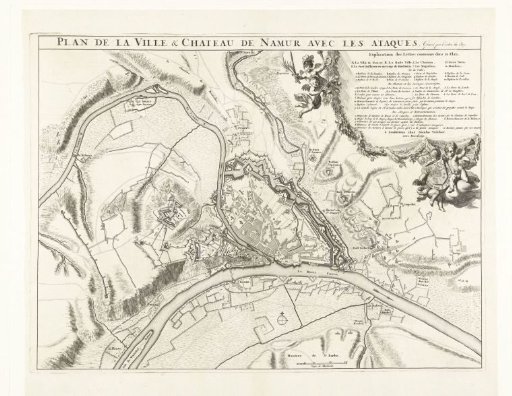 Plan of the City of Namur with the Castle, Besieged by the French Army, 1692
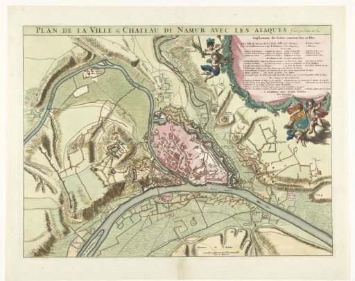 Plan of the City of Namur with the Castle, Besieged by the French Army, 1692
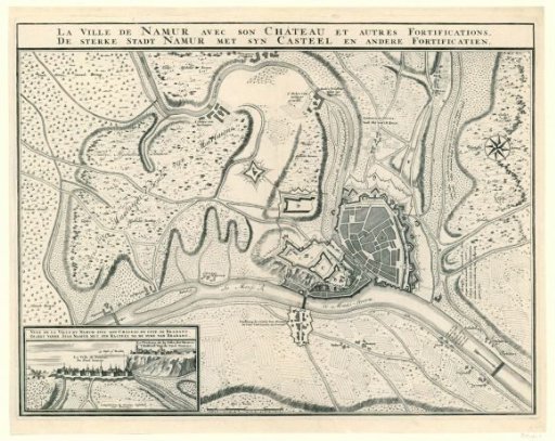 Map of the city of Namur with the castle, besieged by the allies, 1695
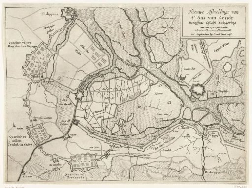 Map of the siege and capture of Sas van Gent, 1644
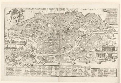 Map of Rome
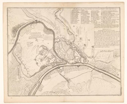 Map of Namur, 1709