Public domain
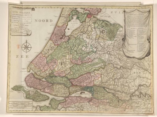
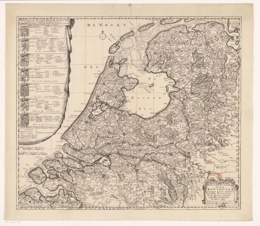
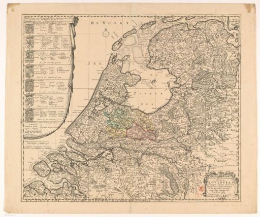
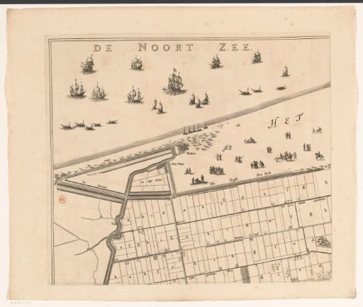
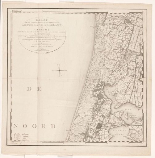
Part of a map of the departments Amstelland, Maasland and Utrecht
From the collection of Rijksmuseum, Amsterdam. Free to download, adapt and use — no permission needed.
About this work
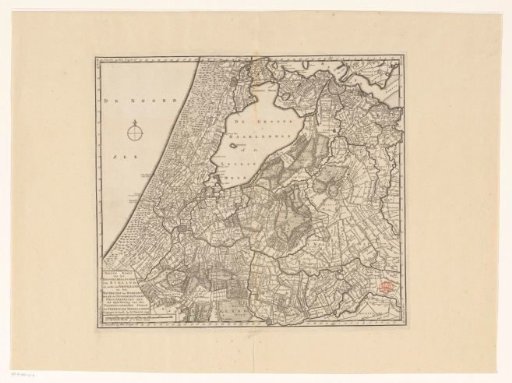
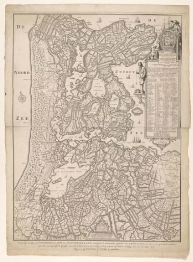
In the upper left the title and a scale bar: Scale of 100 Rhinland rods. Degree divisions along the edges. This is part of a map of the departments of Amstelland, Maasland, and Utrecht. The intention was that this map would appear in four parts, as indicated on the contents page (RP-P-AO-6-34-2), but ultimately only the two upper sheets were published. The current map is the left sheet.
Rijksmuseum, Amsterdam’s own descriptionSubjects
Credit lineDeel van een kaart van de departementen Amstelland, Maasland en Utrecht. 1807. Cornelis van Baarsel. Rijksmuseum, Amsterdam. Public domain.