Public domain
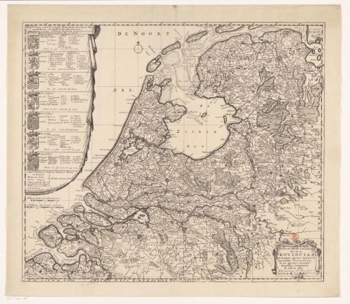
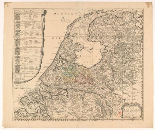
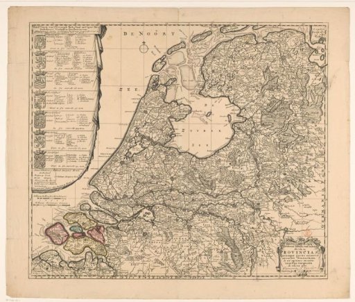
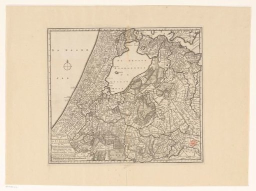
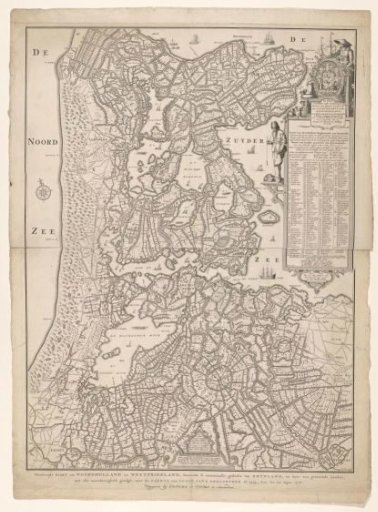
Map of North Holland
From the collection of Rijksmuseum, Amsterdam. Free to download, adapt and use — no permission needed.
About this work
This map from 1778 was made after a map of North Holland from 1575 (for the second state from 1608, see RP-P-AO-7-2). Along the bottom edge the title. On the right a cartouche with the title of the original map and the legend in Dutch. To the left of this, a standing fisherman with a compass and plumb line. Above the cartouche the dedication and a standing peasant woman by the provincial coat of arms, with a ship model, cheeses, vegetables, and products of the land. At the bottom center a cartouche with the patent grant of the first state of the original map. The compass on it also serves as a scale bar: This compass spans a mile.
Rijksmuseum, Amsterdam’s own descriptionSubjects
Credit lineKaart van Noord-Holland. 1778. Cornelis Bogerts, Jan van Jagen. Rijksmuseum, Amsterdam. Public domain.