Public domain
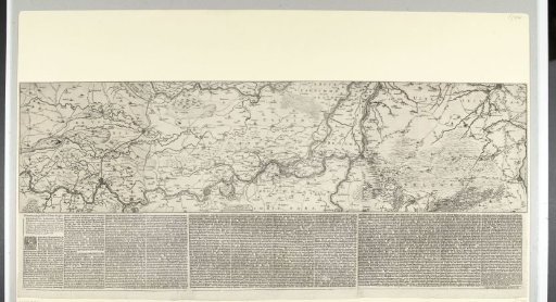
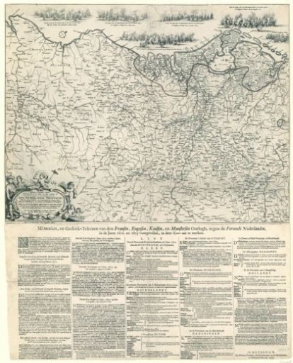
Map of the Netherlands Showing the Extent of Enemy Troop Advances in 1672-73
From the collection of Rijksmuseum, Amsterdam. Free to download, adapt and use — no permission needed.
About this work
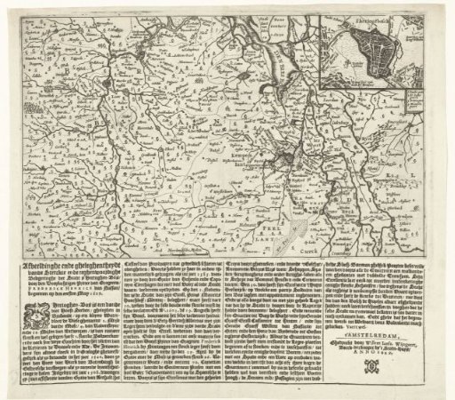
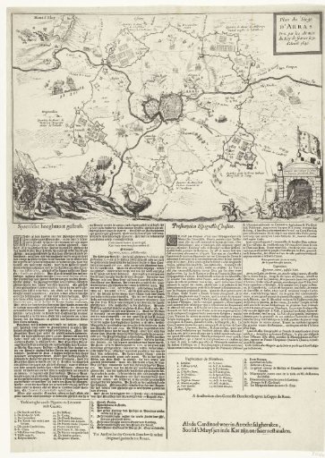
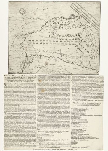
Map of the Netherlands and parts of the surrounding countries. On the map the border is indicated up to which the hostile French and episcopal troops advanced in the years 1672-73. Above the map, in the sea, the naval battles of the years 1672-1673 are depicted. Bottom left the cartouche with the title of the map 'Nieuwe Perfecte Caert' etc. Below the map over five columns a description of the most important naval battles and a list of cities conquered by the enemy per province.
Rijksmuseum, Amsterdam’s own descriptionCredit lineKaart van de Nederlanden waarop is aangegeven tot waar de vijandelijke troepen in de jaren 1672-73 zijn opgerukt. 1673. anonymous. Rijksmuseum, Amsterdam. Public domain.