Public domain
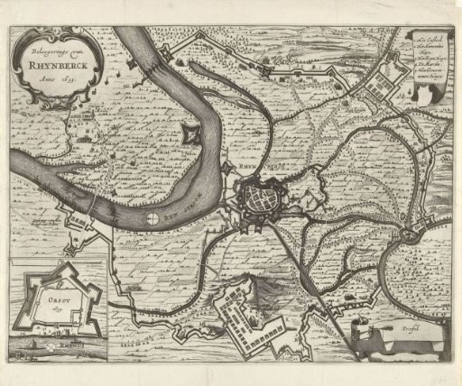
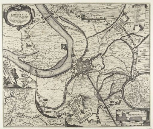
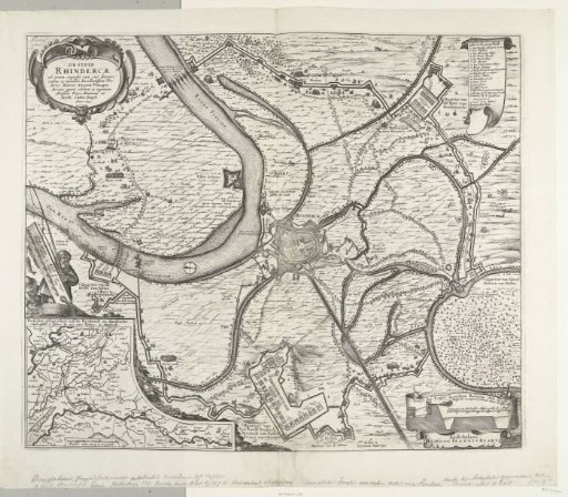
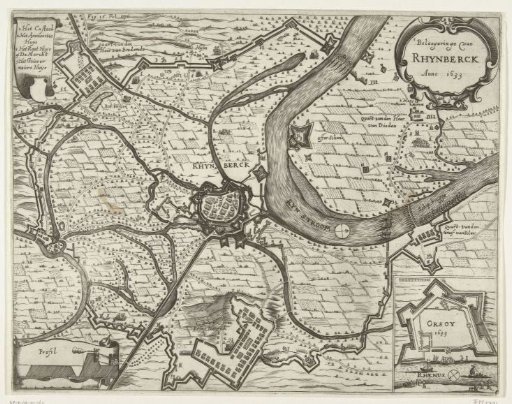
Map of the siege of Rijnberg, 1633
From the collection of Rijksmuseum, Amsterdam. Free to download, adapt and use — no permission needed.
About this work
Map of the siege and capture of Rijnberg by the States' army under Frederick Henry, 16 May – 2 June 1633. Centrally, the city of Rijnberg on the Rhine, at the bottom the quarters of the stadtholder. Top left, a scroll with the legend 1-5 in Dutch. Bottom right, an inset with a plan of Orsoy. Marked top left Fig. 16. Fol. 176.
Rijksmuseum, Amsterdam’s own descriptionCredit lineKaart van het beleg van Rijnberg, 1633. 1651 - 1652. anonymous. Rijksmuseum, Amsterdam. Public domain.