Public domain
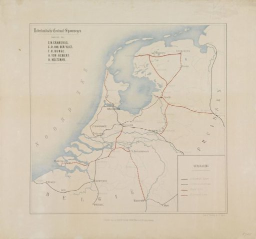
Map of the Netherlands with existing and planned railway lines, 1860
From the collection of Rijksmuseum, Amsterdam. Free to download, adapt and use — no permission needed.
About this work
Map of the Netherlands showing existing and planned railways, October 1860. In the upper left, the names of the five applicants.
Rijksmuseum, Amsterdam’s own descriptionCredit lineKaart van Nederland met de bestaande geplande spoorlijnen, 1860. 1860. anonymous. Rijksmuseum, Amsterdam. Public domain.
Similar works
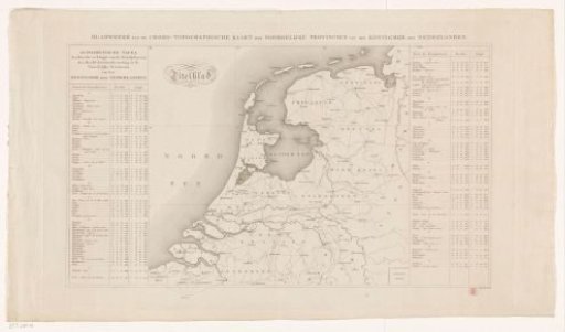 Map of the northern provinces of the Kingdom of the Netherlands
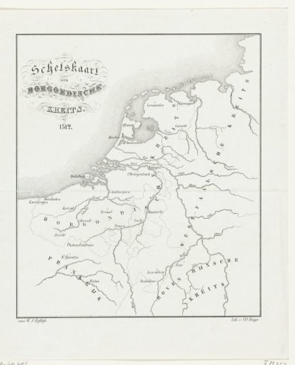 Map of the Burgundian Circle, 1512
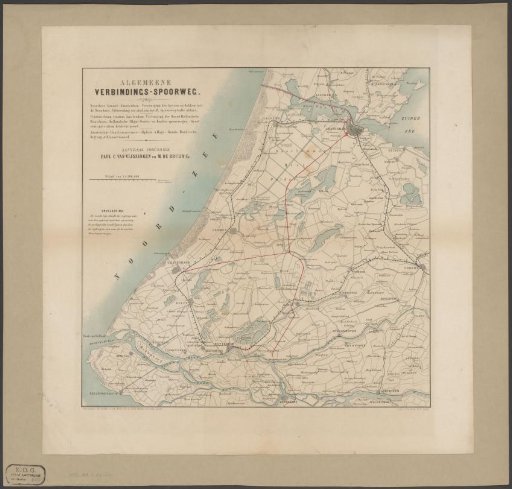 Map of West Netherlands with existing and proposed railways
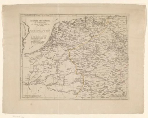 Map of Germany, the Netherlands, and Northern France
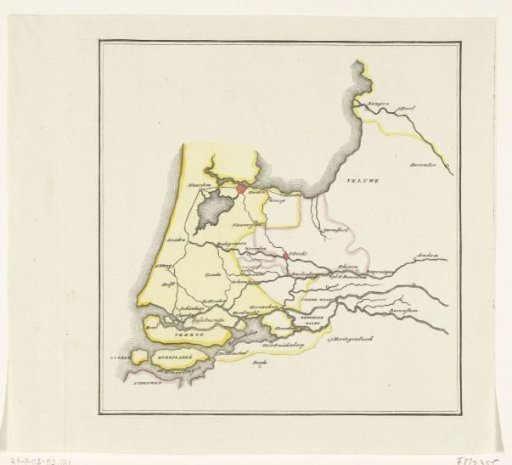 Map of the provinces of Holland, Utrecht and Gelderland showing with colors how far the French had advanced in 1672 and which parts were protected by inundation
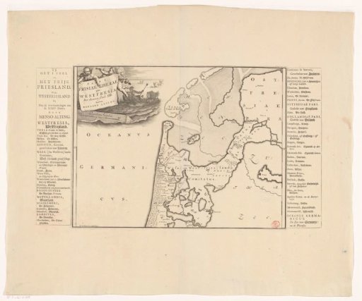 Historical map of the Netherlands with the territories of the Batavians and Frisians