Public domain
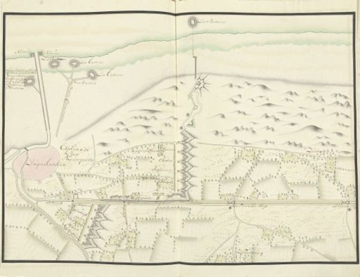
Plan of the forts north of Dunkirk, ca. 1701-1715
From the collection of Rijksmuseum, Amsterdam. Free to download, adapt and use — no permission needed.
About this work
Plan of the redoubts north of the town of Dunkirk, ca. 1701-1715. Part of a collection of drawn plans of fortified places in the Netherlands and surrounding countries during the War of the Spanish Succession (part C).
Rijksmuseum, Amsterdam’s own descriptionCredit linePlattegrond van de schansen ten noorden van Duinkerke, ca. 1701-1715. 1706. Samuel Du Ry de Champdoré. Rijksmuseum, Amsterdam. Public domain.
Similar works
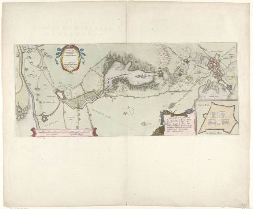 Map of the Siege of Bergen op Zoom, 1622
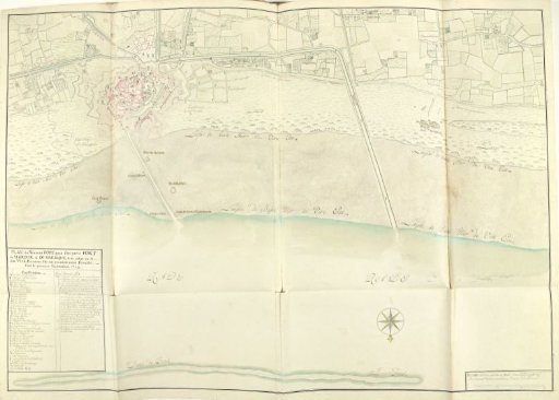 Plan of the new harbor of Dunkirk near Fort Mardijk, 1714
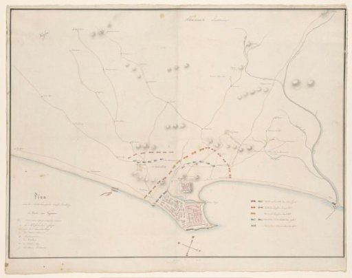 Map of the Attack on Elmina, 1828
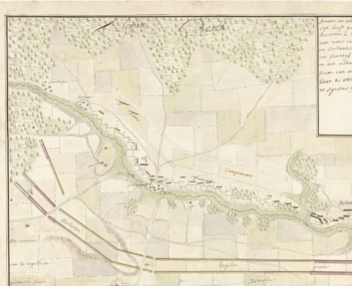 Order of battle of the French army behind the river IJse, 1705
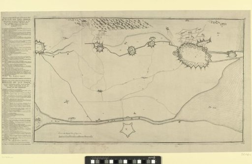 Map with the Fortifications around Bergen op Zoom and Forts in the Surrounding Area
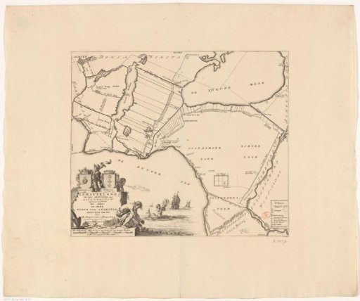 Map of the grietenij Lemsterland