Public domain
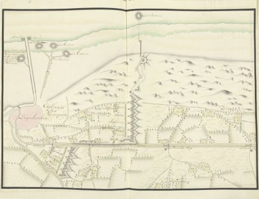
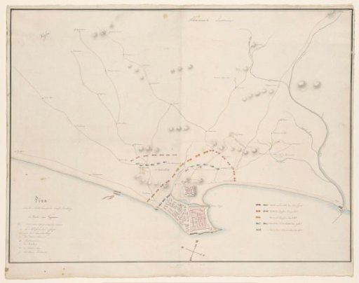
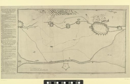
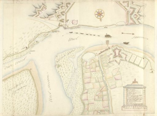
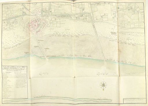
Plan of the new harbor of Dunkirk near Fort Mardijk, 1714
From the collection of Rijksmuseum, Amsterdam. Free to download, adapt and use — no permission needed.
About this work
Plan of the new harbor of Dunkirk laid out at Fort Mardijk, 1 September 1714. Cartouche with the title and legend A-s in French at the lower left. Part of a collection of drawn plans of fortified places in the Netherlands and surrounding countries during the War of the Spanish Succession (part C).
Rijksmuseum, Amsterdam’s own descriptionCredit linePlattegrond met de nieuwe haven van Duinkerke bij Fort Mardijk, 1714. 1714-09-01. Samuel Du Ry de Champdoré. Rijksmuseum, Amsterdam. Public domain.