Public domain
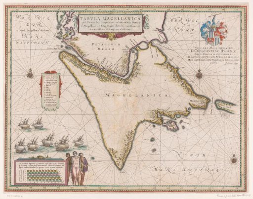
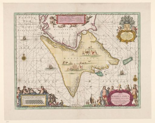
Map of Tierra del Fuego
From the collection of Rijksmuseum, Amsterdam. Free to download, adapt and use — no permission needed.
About this work
Map of Tierra del Fuego and the Strait of Magellan, green border, colored areas. Two compass roses, ships at sea, images of hunting and eating people and birds on land. Scale in the lower left and title cartouche in the lower right surrounded by inhabitants of Tierra del Fuego, penguins and shells. In the upper right the dedication of Johannes Janssonius to Gualtherus de Raet, with coat of arms and helmet, flanked by two putti.
Rijksmuseum, Amsterdam’s own descriptionSubjects
Credit lineKaart van Vuurland. 1680 - 1711. Pieter Schenk (I). Rijksmuseum, Amsterdam. Public domain.