Public domain
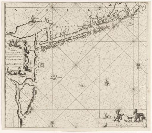
Chart of the coast of Norway in the vicinity of Trondheim
From the collection of Rijksmuseum, Amsterdam. Free to download, adapt and use — no permission needed.
About this work
Chart of the coast of Norway in the vicinity of Trondheim, with two compass roses, North at the bottom. A cartouche on the left with the title and publisher's address, featuring a goat, a squirrel, and a woman adorned with a wreath of ears of corn and holding an axe. Two sea gods in the lower right, one holding a civic crown. In the background, Arion on a dolphin. Below the scene, the scale, represented in German, Spanish, and English or French miles (scale: c. 1:300,000).
Rijksmuseum, Amsterdam’s own descriptionCredit linePaskaart van de kust van Noorwegen in de omgeving van Trondheim. 1681 - 1799. Jan Luyken. Rijksmuseum, Amsterdam. Public domain.
Similar works
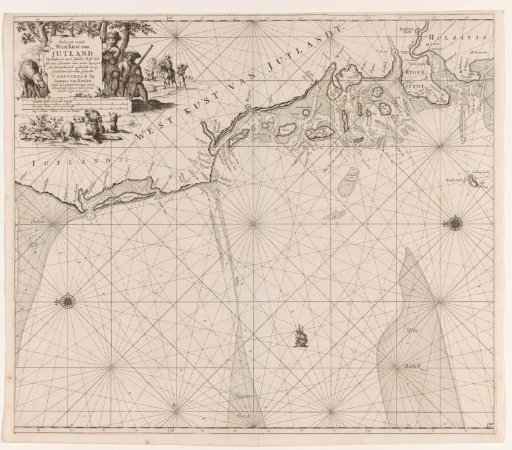 Chart of the west coast of Jutland
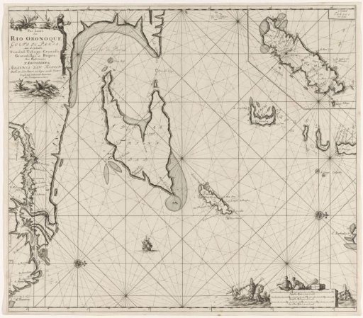 Chart of the Gulf of Paria with the mouth of the Orinoco River
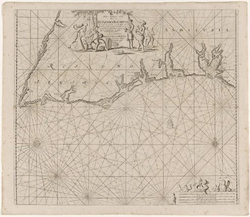 Sea chart of part of the south coast of Portugal and Spain with the Algarve and Andalusia
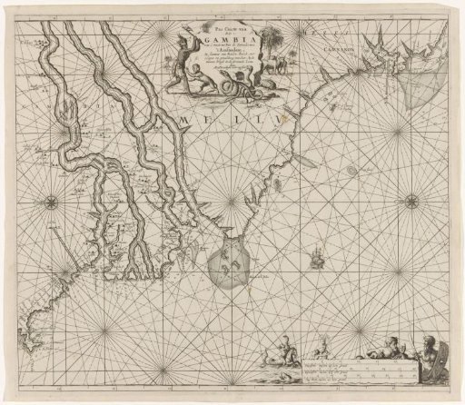 Sea chart of the coast of Gambia and part of the coast of Senegal, Guinea and Sierra Leone
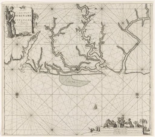 Chart of various Surinamese rivers
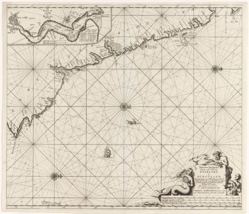 Chart of a part of the northeast coast of England and a part of Scotland