Public domain
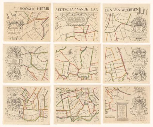
Map of the Hoogheemraadschap of Woerden, consisting of nine parts
From the collection of Rijksmuseum, Amsterdam. Free to download, adapt and use — no permission needed.
About this work
Along the top, a scroll with the title. In the upper centre, a cartouche with historical information about the Hoogheemraadschap of Woerden. On the left, the arms of the Hoogheemraadschap, the cameraar and two hoogheemraden. On the right, the arms of the dijkgraaf, two hoogheemraden and the secretary. Below, to the right of centre, a scale rod: Measure of 800 Rhinland rods. / Whereof 1600 make about an hour's walk. To the right of that, a cartouche with the names of the hoofdingelanden in 1670.
Rijksmuseum, Amsterdam’s own descriptionCredit lineKaart van het Hoogheemraadschap van Woerden, bestaande uit negen delen. 1670. Justus Vinckboons, David Vinckboons (II). Rijksmuseum, Amsterdam. Public domain.
Similar works
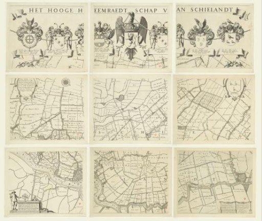 Map of the Hoogheemraadschap of Schieland, consisting of nine parts
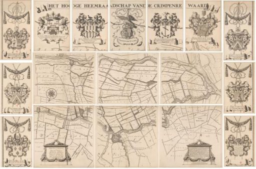 Map of the Hoogheemraadschap of the Krimpenerwaard, consisting of seventeen parts
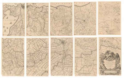 Map of the province of Utrecht, consisting of ten parts
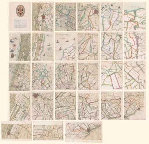 Map of the Hoogheemraadschap of Rijnland
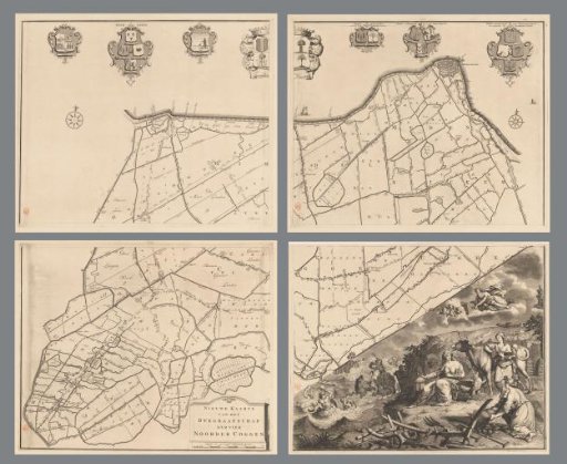 Map of the dike-reeve district of the Four Northern Koggen, consisting of four parts
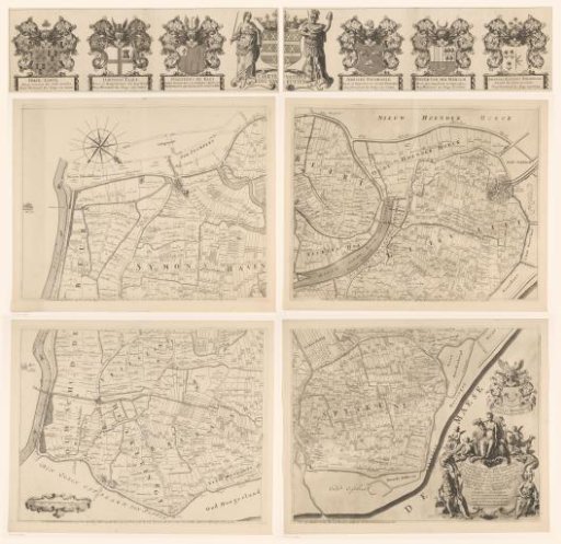 Map of the Ring of Putten, consisting of five parts