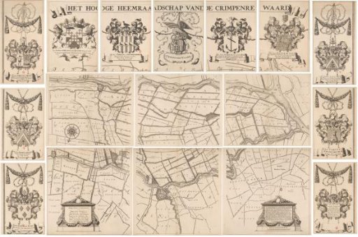
Map of the Hoogheemraadschap of the Krimpenerwaard, consisting of seventeen parts
From the collection of Rijksmuseum, Amsterdam. Free to download, adapt and use — no permission needed.
Map of the Hoogheemraadschap of the Krimpenerwaard. Above the map a banner with the title. Below that in the center the coat of arms of the Hoogheemraadschap with on the left the coat of arms of the dijkgraaf and a hoogheemraad and on the right the coats of arms of two hoogheemraden. Along the left edge the coats of arms of two hoogheemraden and the secretary. Along the right edge the coats of arms of two more hoogheemraden and a shield with the names of the four kavelen and their secretary/treasurer. On the map itself in the lower left a cartouche with information and in the lower right a cartouche with information and a scale bar: Scale of 600 Rhynlandsche roeden.
Rijksmuseum, Amsterdam’s own descriptionSimilar works
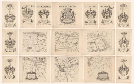 Map of the Hoogheemraadschap of the Krimpenerwaard, consisting of seventeen parts
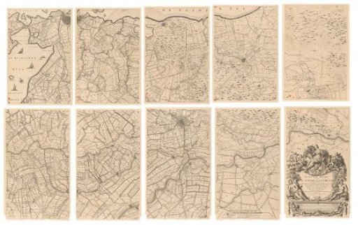 Map of the province of Utrecht, consisting of ten parts
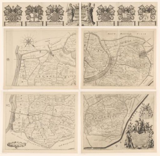 Map of the Ring of Putten, consisting of five parts
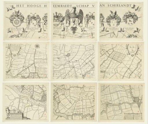 Map of the Hoogheemraadschap of Schieland, consisting of nine parts
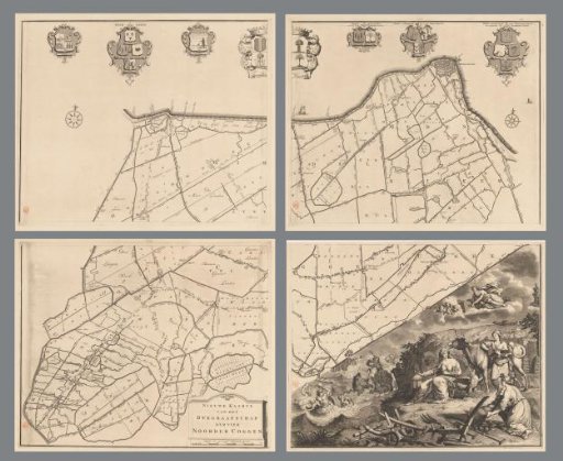 Map of the dike-reeve district of the Four Northern Koggen, consisting of four parts
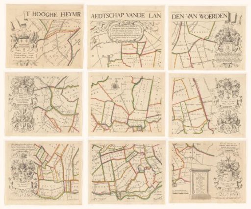 Map of the Hoogheemraadschap of Woerden, consisting of nine parts