Public domain
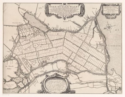
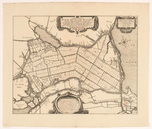
Map of the sold plots in the Heerhugowaard, 1631
From the collection of Rijksmuseum, Amsterdam. Free to download, adapt and use — no permission needed.
About this work
Map of the numbered plots in the Heerhugowaard, 20 June 1631. At the top in the center, the title cartouche. In the upper right, a scale bar: Roeden van 12 voeten, Geesterambachts binnebans maet, ofte Zijpsche dijckmaat, van 600 int morgen, bij een gestelt door den ingenieur Anthonius Metius. At the bottom, a cartouche with text about the Veenhuyser grounds.
Rijksmuseum, Amsterdam’s own descriptionCredit lineKaart van de verlote kavels in de Heerhugowaard, 1631. in or after 1631-06-20. anonymous. Rijksmuseum, Amsterdam. Public domain.