Public domain
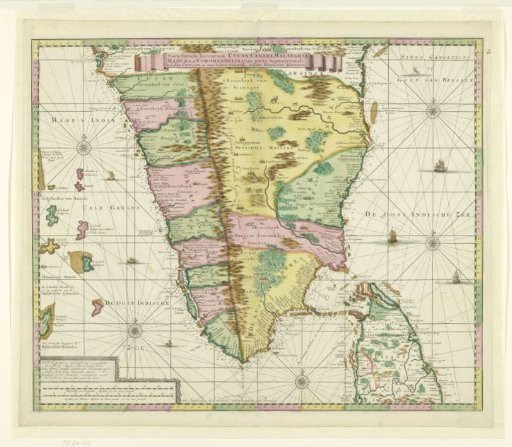
Map of South India
From the collection of Rijksmuseum, Amsterdam. Free to download, adapt and use — no permission needed.
About this work
Map of South India with part of Ceylon, extending from the 95th to the 105th degree of latitude and from the 7th to the 15.20th degree of longitude. Scale: 1:2,000,000.
Rijksmuseum, Amsterdam’s own descriptionSubjects
Credit lineKaart van Zuid-India. c. 1720. Gerard van Keulen. Rijksmuseum, Amsterdam. Public domain.